Red Square, Seattle
Map
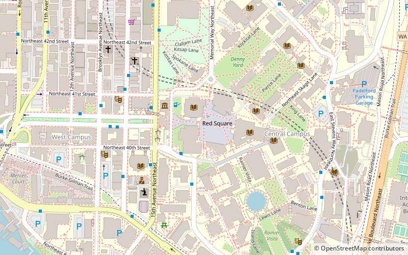
Map

Facts and practical information
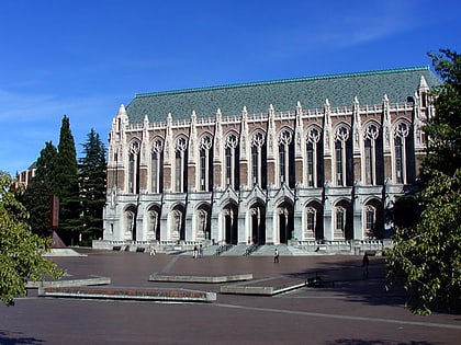
Red Square, officially Central Plaza, is a large open square on the Seattle campus of the University of Washington that serves as a hub for two of the University's major axes, connecting the campus's northern Liberal Arts Quadrangle with the science and engineering buildings found on the lower campus. The plaza is paved with red brick, and becomes notoriously slippery during rain. ()
Coordinates: 47°39'21"N, 122°18'36"W
Address
Northeast Seattle (University District)Seattle
ContactAdd
Social media
Add
Day trips
Red Square – popular in the area (distance from the attraction)
Nearby attractions include: Burke Museum, Broken Obelisk, Husky Stadium, Henry Art Gallery.
Frequently Asked Questions (FAQ)
Which popular attractions are close to Red Square?
Nearby attractions include University of Washington Libraries, Seattle (1 min walk), Odegaard Undergraduate Library, Seattle (2 min walk), Broken Obelisk, Seattle (2 min walk), Meany Hall for the Performing Arts, Seattle (2 min walk).
How to get to Red Square by public transport?
The nearest stations to Red Square:
Bus
Trolleybus
Light rail
Bus
- Grant Ln & Stevens Way • Lines: 277, 372, 45, 65, 67, 75, 810, 860, 871, 880 (2 min walk)
- 15th Ave NE & NE Campus Pkwy • Lines: 167, 271, 277, 372, 48, 542, 556 (3 min walk)
Trolleybus
- 15th Ave NE & NE 42nd St • Lines: 43, 44, 49, 70 (6 min walk)
Light rail
- U District • Lines: 1 (10 min walk)
- University of Washington • Lines: 1 (13 min walk)
