Fort Detroit, Detroit
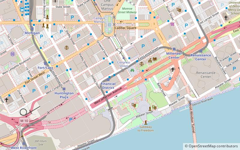
Map
Facts and practical information
Fort Pontchartrain du Détroit or Fort Detroit was a fort established on the north bank of the Detroit River by the French officer Antoine de la Mothe Cadillac in 1701. In the 18th century, French colonial settlements developed on both sides of the river, based on the fur trade, missions and farms. ()
Address
Downtown DetroitDetroit
ContactAdd
Social media
Add
Getting there by public transportation
Public transportation stops near this location
- Bus
- Tram
- Light rail
 Bus
Bus
- Calculate routeLarned / Griswold NS 1 min walk
- Calculate routeJefferson / Woodward 1 min walk
- Calculate routeLarned / Financial District Station 1 min walk
- Calculate routeFinancial District 2 min walk
- Calculate routeConvention Center 6 min walk
- Calculate routeMillender Center 6 min walk
- Calculate routeFort/Cass 7 min walk
- Calculate routeCongress Street 2 min walk
- Calculate routeCampus Martius 7 min walk
- Calculate routeGrand Circus Park 15 min walk
- Calculate routeMontcalm Street 20 min walk
Day trips


Frequently Asked Questions (FAQ)
Which popular attractions are close to Fort Detroit?
Nearby attractions include Ford Building, Detroit (2 min walk), Guardian Building, Detroit (2 min walk), Monument to Joe Louis, Detroit (2 min walk), Buhl Building, Detroit (2 min walk).
How to get to Fort Detroit by public transport?
The nearest stations to Fort Detroit:
Bus
Light rail
Tram
Bus
- Larned / Griswold NS • Lines: 261, 461, 462, 563 (1 min walk)
- Jefferson / Woodward • Lines: 03, 06, 09, 255, 620, 830, 851, 92 (1 min walk)
Light rail
- Financial District • Lines: Dpm (2 min walk)
- Convention Center • Lines: Dpm (6 min walk)
Tram
- Congress Street • Lines: QLine (2 min walk)
- Campus Martius • Lines: QLine (7 min walk)