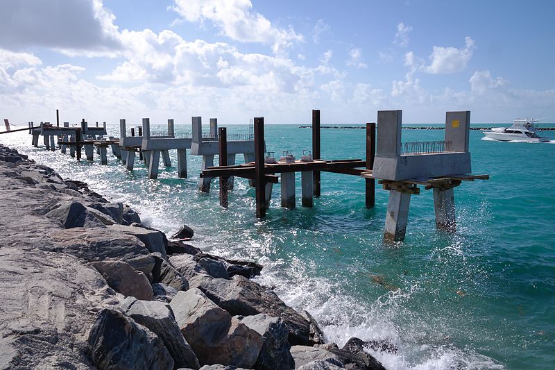
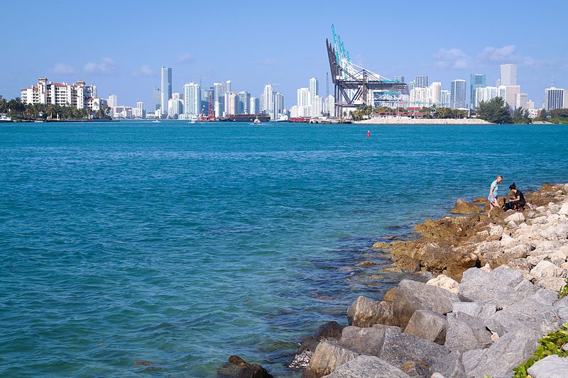
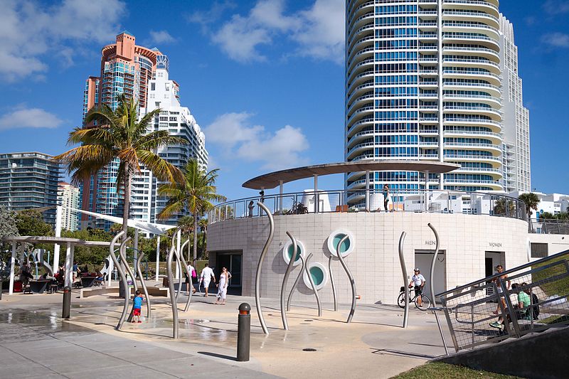
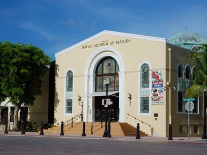
South Pointe Park, Miami Beach
Map
Gallery
Facts and practical information
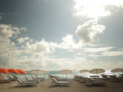
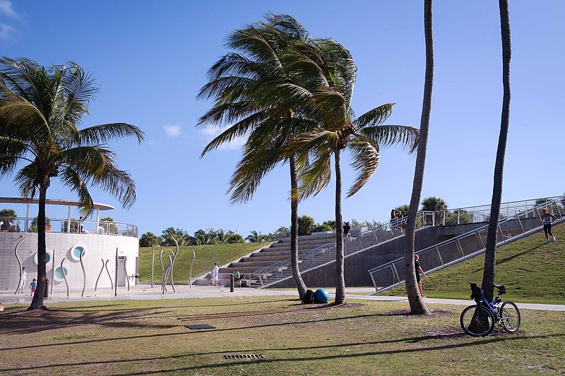
South Pointe Park, known locally as South Pointe, is a 17-acre county urban park in metropolitan Miami, in the South Beach neighborhood of Miami Beach, Florida. ()
Created: 1979Elevation: 3 ft a.s.l.Coordinates: 25°45'58"N, 80°8'2"W
Day trips
South Pointe Park – popular in the area (distance from the attraction)
Nearby attractions include: Ocean Drive, Lummus Park, U.S. Coast Guard Station Miami Beach, Wolfsonian-FIU.
Frequently Asked Questions (FAQ)
Which popular attractions are close to South Pointe Park?
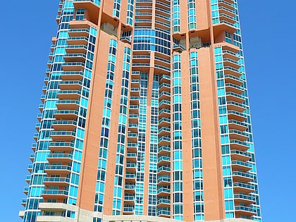
Nearby attractions include Continuum on South Beach, Miami Beach (3 min walk), Portofino Tower, Miami Beach (4 min walk), Murano at Portofino, Miami Beach (8 min walk), Beth Jacob Social Hall and Congregation, Miami Beach (11 min walk).
How to get to South Pointe Park by public transport?
The nearest stations to South Pointe Park:
Bus
Bus
- South Pointe Drive & Washington Avenue • Lines: 103, 113 (6 min walk)
- Washington Avenue & South Pointe Drive • Lines: 150 (6 min walk)


