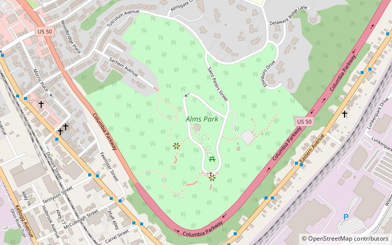
Alms Park, Cincinnati

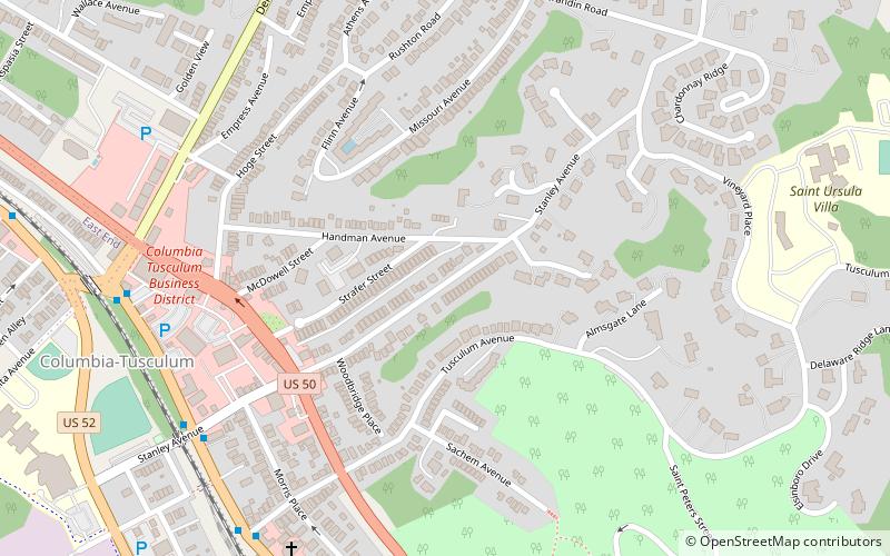
Map
Facts and practical information
The Frederick H. Alms Memorial Park is a Cincinnati park in the community of Mt. Lookout/Columbia-Tusculum, most often called "Alms Park" for short, owned and operated by the Cincinnati Park Board. Its entrance is located at 650 Tusculum Avenue. ()
Elevation: 794 ft a.s.l.Coordinates: 39°6'43"N, 84°25'46"W
Day trips
Alms Park – popular in the area (distance from the attraction)
Nearby attractions include: Fulton-Presbyterian Cemetery, Cincinnati Aviation Heritage Society Museum, Pioneer Memorial Cemetery, Reeves Golf Course.
Frequently Asked Questions (FAQ)
Which popular attractions are close to Alms Park?
Nearby attractions include Norwell Residence, Cincinnati (8 min walk), Stites House, Cincinnati (8 min walk), Spencer Township Hall, Cincinnati (8 min walk), Stephen Decker Rowhouse, Cincinnati (9 min walk).
How to get to Alms Park by public transport?
The nearest stations to Alms Park:
Bus
Bus
- Eastern Avenue & Whitworth Street • Lines: 28 (7 min walk)


