City Park, Benicia
Map
Facts and practical information
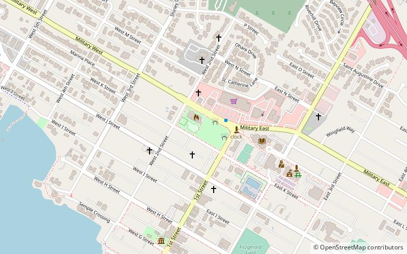
City Park in Benicia, California features a bus station served by SolTrans and Thruway Motorcoach. It is the site of the first Protestant church in California: a Presbyterian church which stood between 1849 and 1875. It was also home to a seminary. ()
Elevation: 56 ft a.s.l.Coordinates: 38°3'14"N, 122°9'25"W
Address
Military EBenicia (West Side)Benicia 94510
ContactAdd
Social media
Add
Day trips
City Park – popular in the area (distance from the attraction)
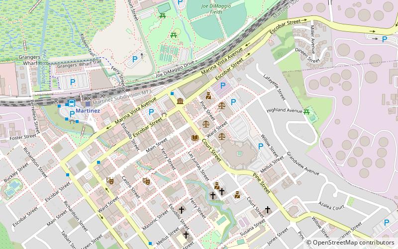
Nearby attractions include: Benicia State Recreation Area, John Muir National Historic Site, Benicia–Martinez Bridge, Benicia Capitol State Historic Park.


Frequently Asked Questions (FAQ)
Which popular attractions are close to City Park?
Nearby attractions include Old Masonic Hall, Benicia (3 min walk), Benicia Capitol State Historic Park, Benicia (8 min walk).