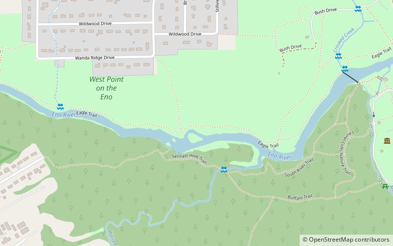
West Point on the Eno, Durham
Map

Map

Facts and practical information
West Point on the Eno is a city park and historical center covering 412 acres in Durham, Durham County, North Carolina. ()
Elevation: 295 ft a.s.l.Coordinates: 36°4'11"N, 78°55'4"W
Address
Latta RoadDurham
ContactAdd
Social media
Add
Day trips
West Point on the Eno – popular in the area (distance from the attraction)
Nearby attractions include: Northgate Mall, Bennett Place, Museum of Life and Science, Duke Homestead.
Frequently Asked Questions (FAQ)
How to get to West Point on the Eno by public transport?
The nearest stations to West Point on the Eno:
Bus
Bus
- N Roxboro St at Rippling Stream Rd • Lines: 9B (14 min walk)


