Williamstown Bridge, Marietta
Map

Map

Facts and practical information
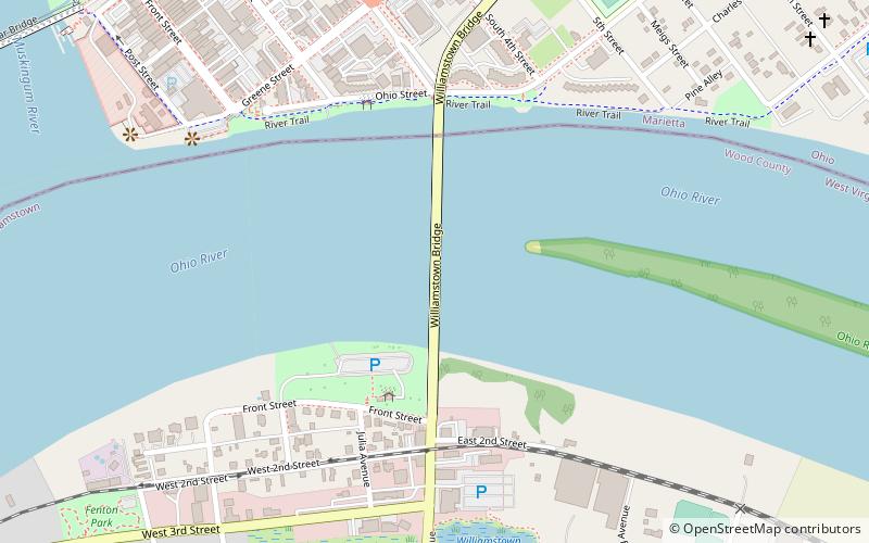
The Williamstown Bridge is a bridge over the Ohio River between Williamstown, West Virginia, and Marietta, Ohio. The bridge carries West Virginia Route 31 and Ohio State Route 60. U.S. Route 21 was also formerly routed along this bridge. ()
Opened: 1992 (34 years ago)Coordinates: 39°24'30"N, 81°26'53"W
Day trips
Williamstown Bridge – popular in the area (distance from the attraction)
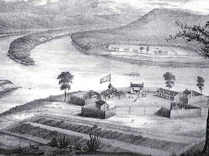
Nearby attractions include: Mound Cemetery, Basilica of St. Mary of the Assumption, Fort Harmar, Putnam Street Bridge.
Frequently Asked Questions (FAQ)
Which popular attractions are close to Williamstown Bridge?
Nearby attractions include Fort Harmar, Marietta (14 min walk), Marietta College, Marietta (14 min walk), Children's Toy and Doll Museum, Marietta (16 min walk), Peoples Bank Theatre, Marietta (16 min walk).


