Wind Cave National Park Administrative and Utility Area Historic District, Wind Cave National Park
Map

Map

Facts and practical information
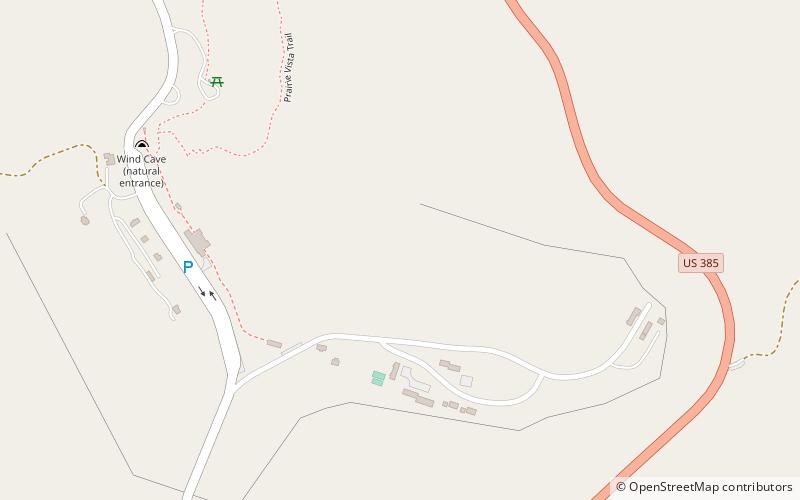
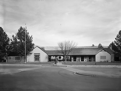
The Wind Cave National Park Administrative and Utility Area Historic District comprises the central portion of Wind Cave National Park in South Dakota. The district centers on the historic entrance to Wind Cave, which is surrounded by park administrative and interpretive structures, most of which were built by the Civilian Conservation Corps in the 1930s. ()
Built: 1905 (121 years ago)Coordinates: 43°33'23"N, 103°28'26"W
Address
Wind Cave National Park
ContactAdd
Social media
Add
Day trips
Wind Cave National Park Administrative and Utility Area Historic District – popular in the area (distance from the attraction)
Nearby attractions include: Wind Cave National Park, Wind Cave bison herd.


