World's End, Hull
Map
Gallery
Facts and practical information
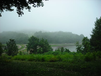
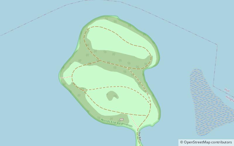
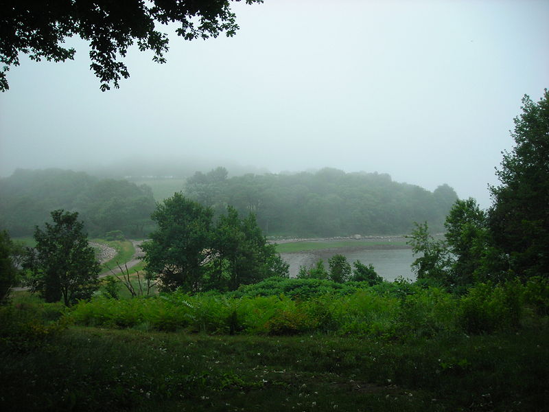
World's End is a 251-acre park and conservation area located on a peninsula in Hingham, Massachusetts. The peninsula is bordered by the Weir River to the North and East and Hingham Harbor to the West. The land is composed of four drumlins harboring tree groves interspersed with fields attractive to butterflies and grassland-nesting birds, and offers 4.5 miles of walking paths with views of the Boston skyline. ()
Elevation: 39 ft a.s.l.Coordinates: 42°16'15"N, 70°52'48"W
Address
HinghamHull
ContactAdd
Social media
Add
Day trips
World's End – popular in the area (distance from the attraction)
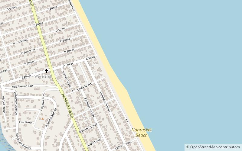
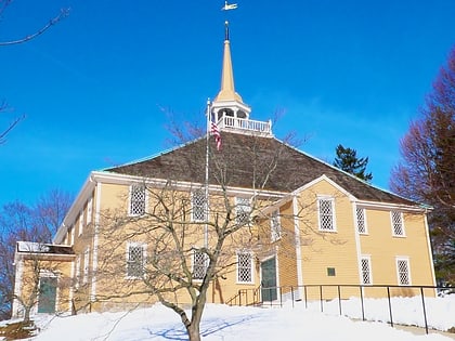
Nearby attractions include: Paragon Park Carousel, Nantasket Beach, Boston Light, Old Ship Church.
