Hidden Meadows Farm, West Greenwich

Gallery (1)
Map
Map
Facts and practical information
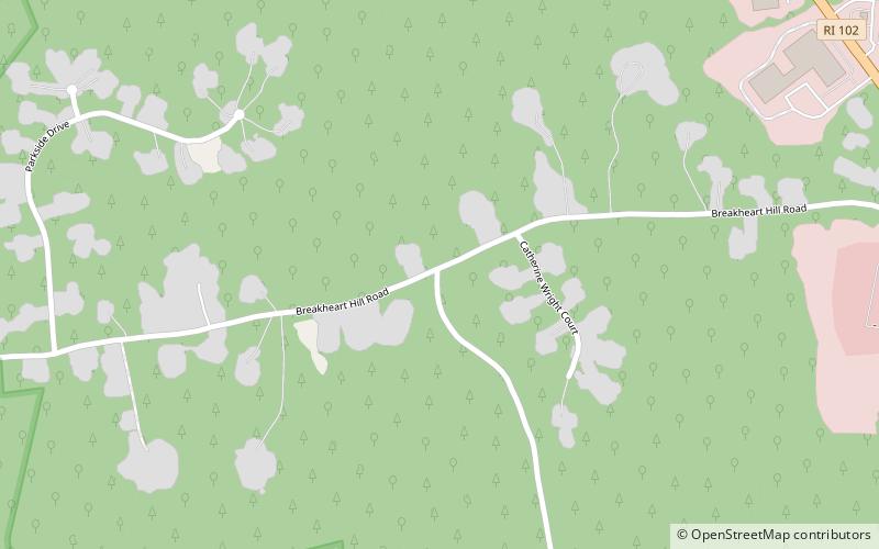
Hidden Meadows Farm (address: 120 Breakheart Hill Rd) is a place located in West Greenwich (Rhode Island state) and belongs to the category of sightseeing.
It is situated at an altitude of 453 feet, and its geographical coordinates are 41°36'32"N latitude and 71°40'27"W longitude.
Among other places and attractions worth visiting in the area are: Leyden Farm Vineyard & Winery (winery, 77 min walk), Tomaquag Museum, Exeter (museum, 96 min walk), Coventry Pines Golf Course, Arcadia Wildlife Management Park (golf, 122 min walk).
Coordinates: 41°36'32"N, 71°40'27"W
Day trips


