11th Street Bridges, Washington D.C.
Map
Gallery
Facts and practical information
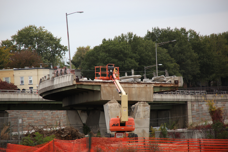
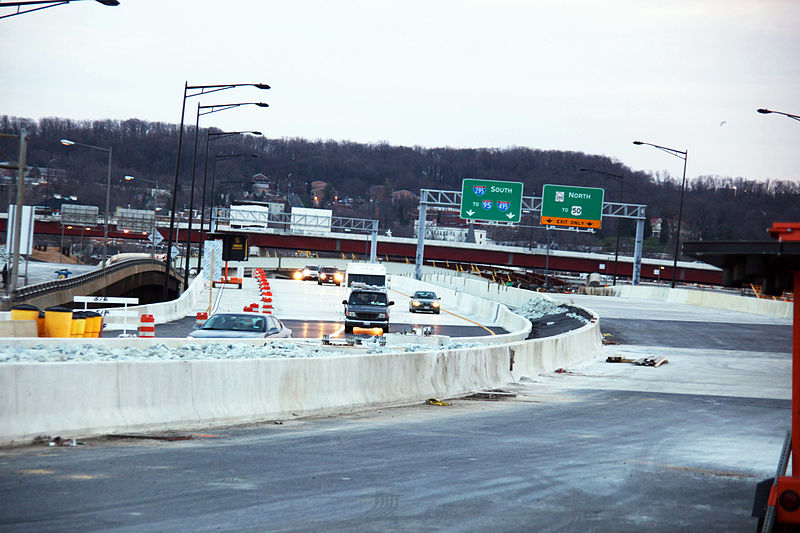
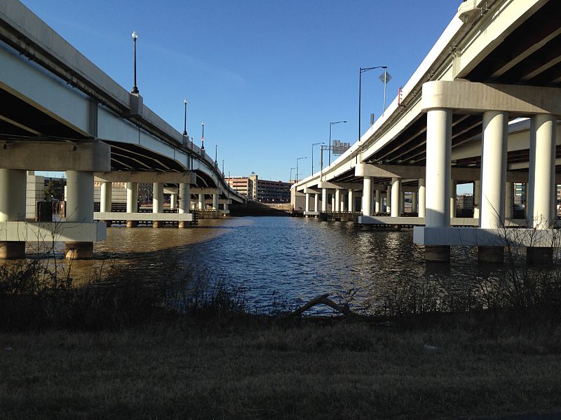
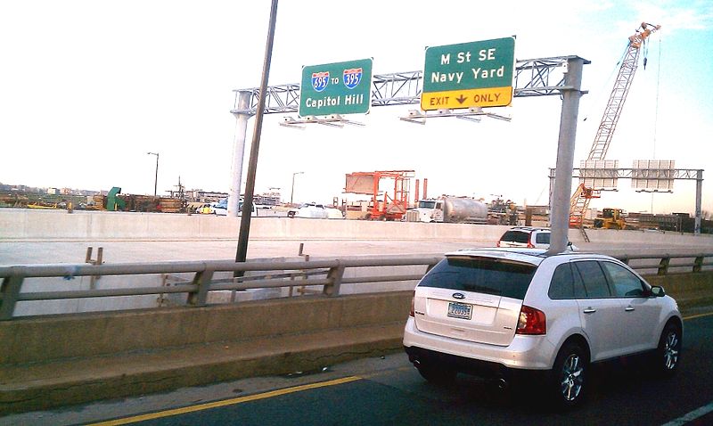
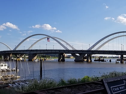
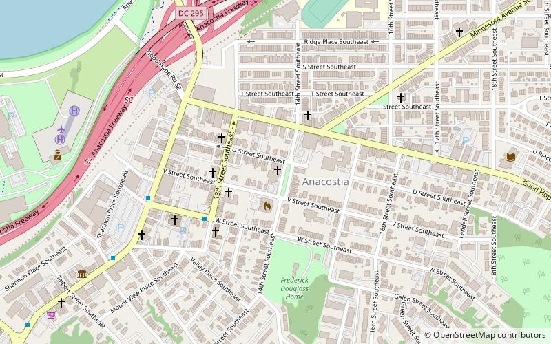
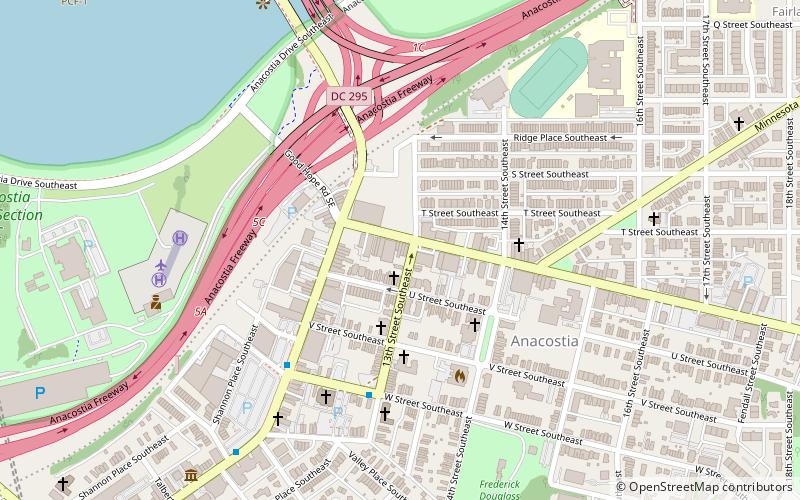
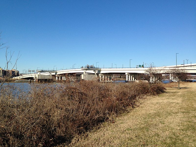
The 11th Street Bridges are a complex of three bridges across the Anacostia River in Washington, D.C., United States. The bridges convey Interstate 695 across the Anacostia to its southern terminus at Interstate 295 and DC 295. The bridges also connect the neighborhood of Anacostia with the rest of the city of Washington. ()
Opened: 2013 (13 years ago)Length: 931 ftWidth: 63 ftCoordinates: 38°52'18"N, 76°59'22"W
Address
Southeast WashingtonWashington D.C.
ContactAdd
Social media
Add
Day trips
11th Street Bridges – popular in the area (distance from the attraction)
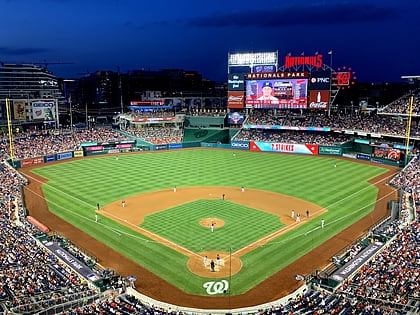
Nearby attractions include: Nationals Park, Frederick Douglass Memorial Bridge, Navy Yard, Anacostia Arts Center.
Frequently Asked Questions (FAQ)
Which popular attractions are close to 11th Street Bridges?
Nearby attractions include National Museum of the United States Navy, Washington D.C. (9 min walk), Navy Department Library, Washington D.C. (9 min walk), Honfleur Gallery, Washington D.C. (9 min walk), Naval District Washington, Washington D.C. (9 min walk).
How to get to 11th Street Bridges by public transport?
The nearest stations to 11th Street Bridges:
Metro
Bus
Train
Metro
- Anacostia • Lines: Gr (18 min walk)
- Potomac Avenue • Lines: Bl, Or, Sv (19 min walk)
Bus
- M St SE & 4th St SE • Lines: V4 (18 min walk)
- M • Lines: W6, W8 (18 min walk)
Train
- Rayburn (41 min walk)


