Hawaii Island

Gallery (1)
Map
Map
Facts and practical information
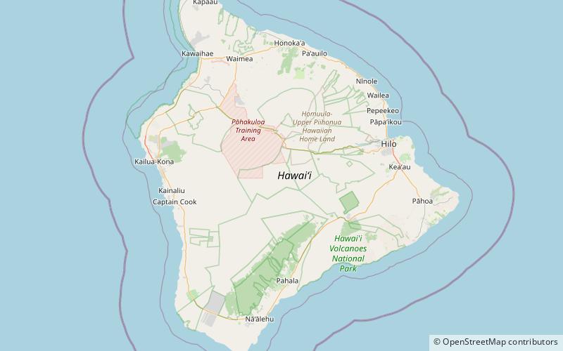
Hawaii is the largest island in the United States, located in the state of Hawaii. It is the southeasternmost of the Hawaiian Islands, a chain of volcanic islands in the North Pacific Ocean. With an area of 4,028 square miles, it has 63% of the Hawaiian archipelago's combined landmass. However, it has only 13% of Hawaiʻi's population. The island of Hawaiʻi is the third largest island in Polynesia, behind the two main islands of New Zealand. ()
Alternative names: Area: 4028.58 mi²Maximum elevation: 13803 ftArchipelago: Hawaiian IslandsCoordinates: 19°35'24"N, 155°30'0"W
Location
Hawaii
ContactAdd
Social media
Add