President's Park, Washington D.C.
Map
Map

Facts and practical information
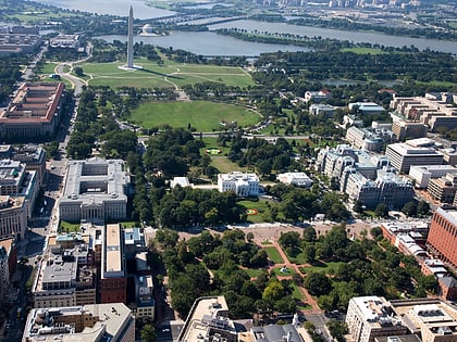
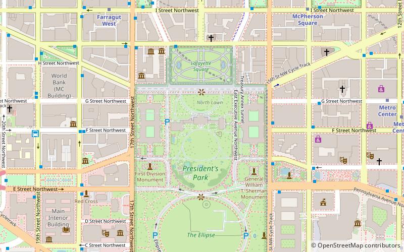
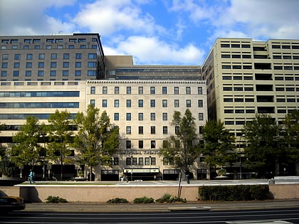
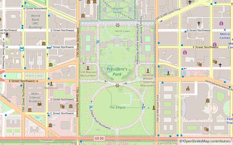
President's Park, located in Downtown Washington, D.C., encompasses the White House and includes the Eisenhower Executive Office Building, the Treasury Building, and grounds; the White House Visitor Center; Lafayette Square; and The Ellipse. President's Park was the original name of Lafayette Square. The current President's Park is administered by the National Park Service. The park is officially referred to as President's Park or The White House and President's Park. ()
Day trips
President's Park – popular in the area (distance from the attraction)
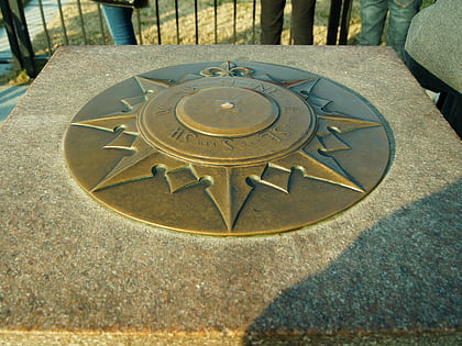
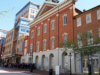
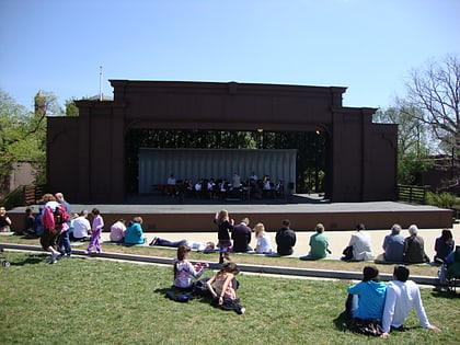
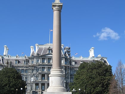
Nearby attractions include: Zero Milestone, Ford's Theatre, National Sylvan Theater, First Division Monument.
Frequently Asked Questions (FAQ)
Which popular attractions are close to President's Park?
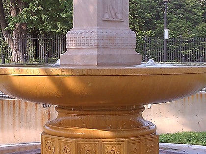
Nearby attractions include South Lawn, Washington D.C. (1 min walk), White House vegetable garden, Washington D.C. (1 min walk), Zero Milestone, Washington D.C. (2 min walk), Butt–Millet Memorial Fountain, Washington D.C. (2 min walk).
How to get to President's Park by public transport?
The nearest stations to President's Park:
Bus
Metro
Train
Bus
- 19th St & F St Northwest (10 min walk)
- 21st St & F St Northwest (14 min walk)
Metro
- Farragut West • Lines: Bl, Or, Sv (11 min walk)
- McPherson Square • Lines: Bl, Or, Sv (12 min walk)
Train
- L'Enfant (29 min walk)
