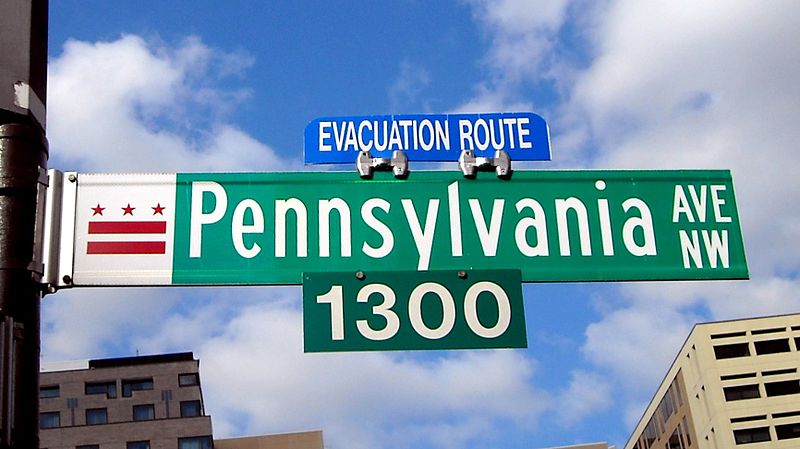
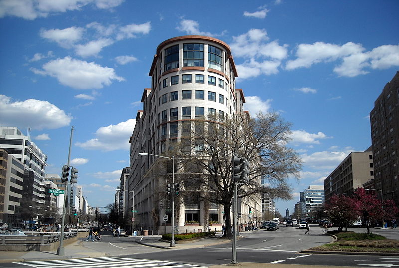
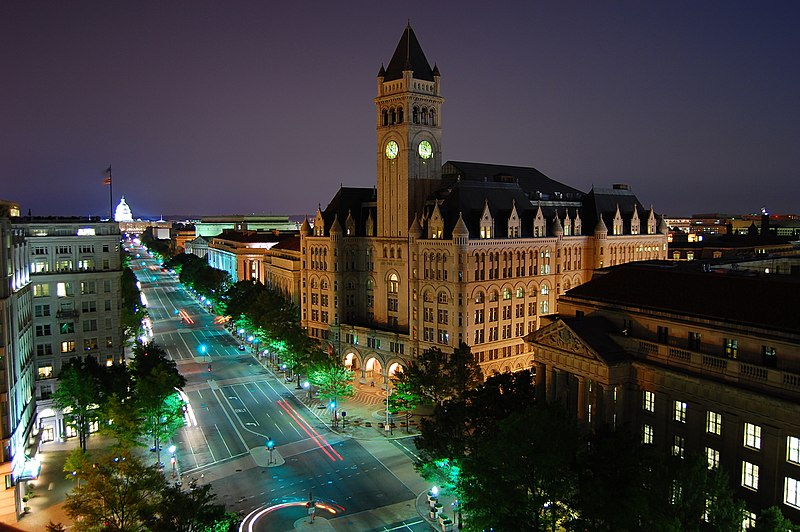
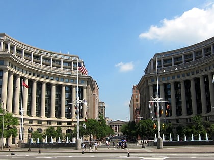
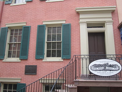
Pennsylvania Avenue, Washington D.C.
Facts and practical information
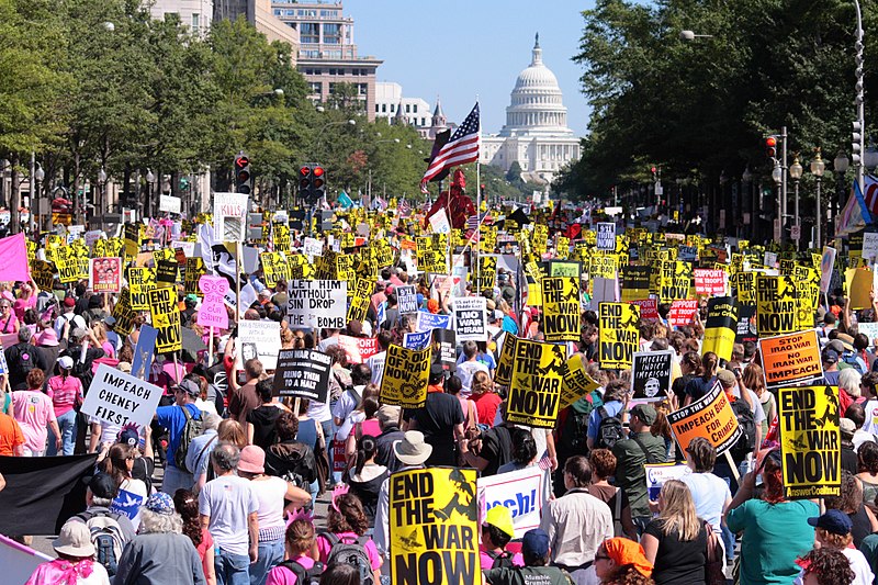
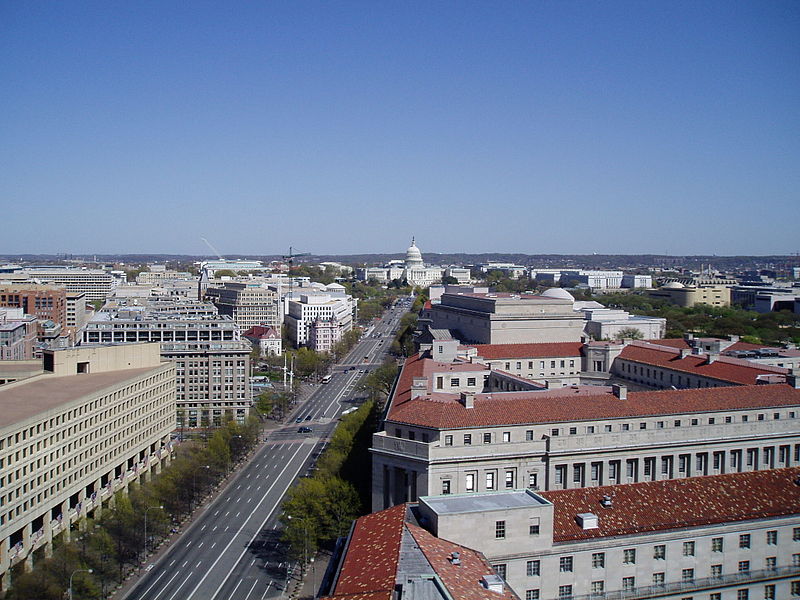
Pennsylvania Avenue is a diagonal street in Washington, D.C., and Prince George's County, Maryland, that connects the White House and the United States Capitol and then crosses the city to Maryland. In Maryland it is also Maryland Route 4 to MD 717 in Upper Marlboro, where it becomes Stephanie Roper Highway. The section between the White House and Congress is called "America's Main Street"; it is the location of official parades and processions, as well as protest marches. Moreover, Pennsylvania Avenue is an important commuter road and is part of the National Highway System. ()
Northwest Washington (Federal Triangle)Washington D.C.
Pennsylvania Avenue – popular in the area (distance from the attraction)
Nearby attractions include: National Museum of Natural History, National Mall, National Museum of American History, National Archives Building.
Frequently Asked Questions (FAQ)
Which popular attractions are close to Pennsylvania Avenue?
How to get to Pennsylvania Avenue by public transport?
Metro
- Federal Triangle • Lines: Bl, Or, Sv (3 min walk)
- Archives • Lines: Gr, Yl (6 min walk)
Train
- L'Enfant (15 min walk)
- Rayburn (24 min walk)
Bus
- 19th St & F St Northwest (26 min walk)
- FlixBus Washington Union Station • Lines: 2601, 2602, 2668, N2610 (28 min walk)
Tram
- Union Station • Lines: H Street/Benning Road Streetcar (33 min walk)


