Rawlins Park, Washington D.C.

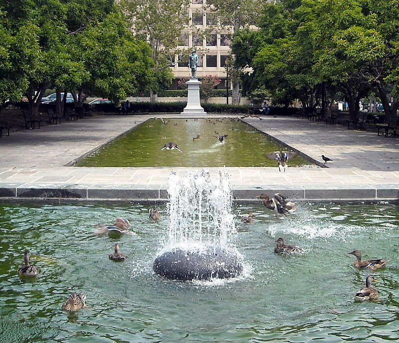
Gallery (2)
Map
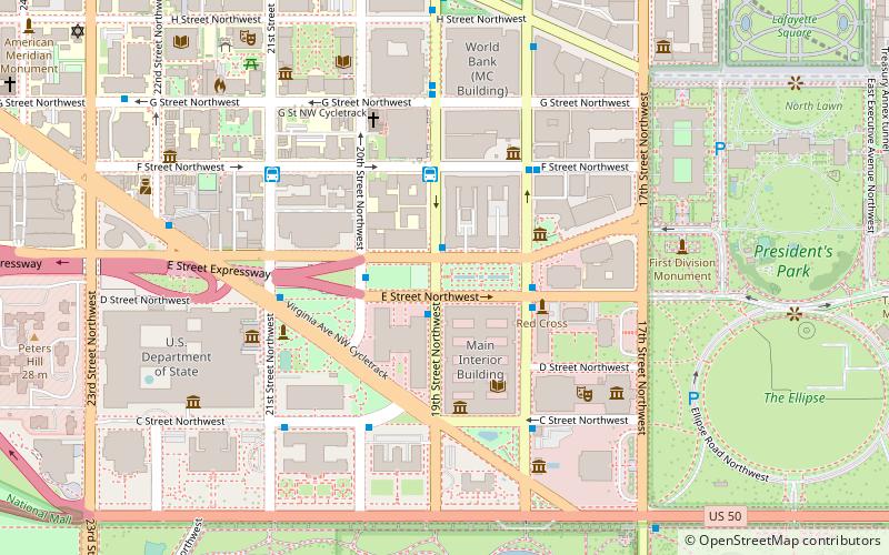
Map
Gallery
Facts and practical information
Rawlins Park is a park in the Foggy Bottom neighborhood of Washington, D.C. The General John A. Rawlins statue is located on the eastern end of the park. Directly north of the park is the General Services Administration. Directly south is the Department of Interior building. ()
Elevation: 36 ft a.s.l.Coordinates: 38°53'45"N, 77°2'36"W
Address
1849 E St NWNorthwest Washington (Foggy Bottom - GWU - West End)Washington D.C.
ContactAdd
Social media
Add
Getting there by public transportation
Public transportation stops near this location
- Metro
- Bus
 Metro
Metro
- Calculate route19th St & F St Northwest 3 min walk
- Calculate route21st St & F St Northwest 6 min walk
- Calculate routeMTA Bus Stop 12 min walk
- Calculate routeFarragut West 11 min walk
- Calculate routeFoggy Bottom–GWU 14 min walk
Day trips
Rawlins Park – popular in the area (distance from the attraction)
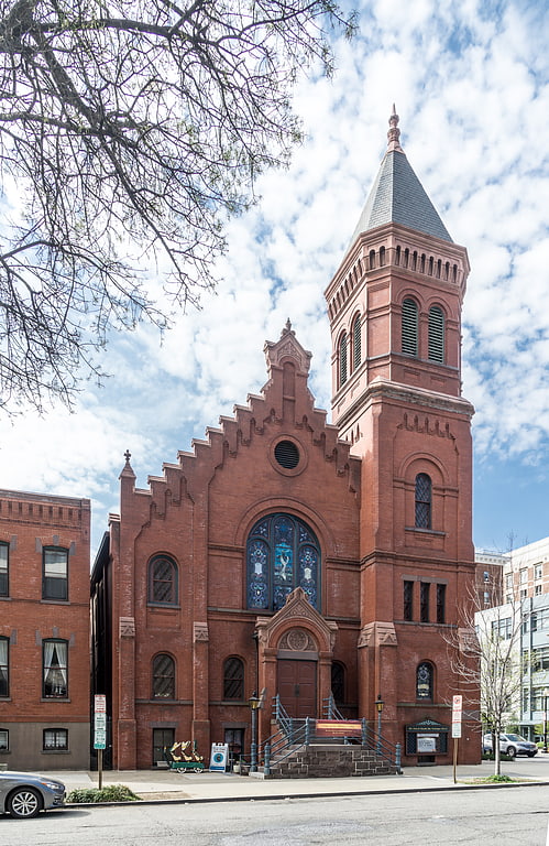
Nearby attractions include: Concordia German Evangelical Church and Rectory, First Division Monument, Octagon House, Eccles Building.


Frequently Asked Questions (FAQ)
Which popular attractions are close to Rawlins Park?
Nearby attractions include Walt Whitman Park, Washington D.C. (2 min walk), Statue of John Aaron Rawlins, Washington D.C. (2 min walk), United States General Services Administration Building, Washington D.C. (3 min walk), Octagon House, Washington D.C. (3 min walk).
How to get to Rawlins Park by public transport?
The nearest stations to Rawlins Park:
Bus
Metro
Bus
- 19th St & F St Northwest (3 min walk)
- 21st St & F St Northwest (6 min walk)
Metro
- Farragut West • Lines: Bl, Or, Sv (11 min walk)
- Foggy Bottom–GWU • Lines: Bl, Or, Sv (14 min walk)