Dance Place, Washington D.C.
Map
Facts and practical information
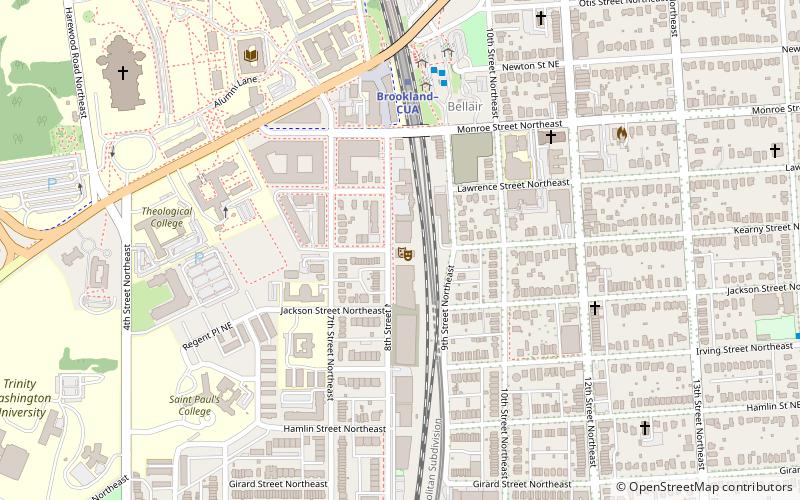
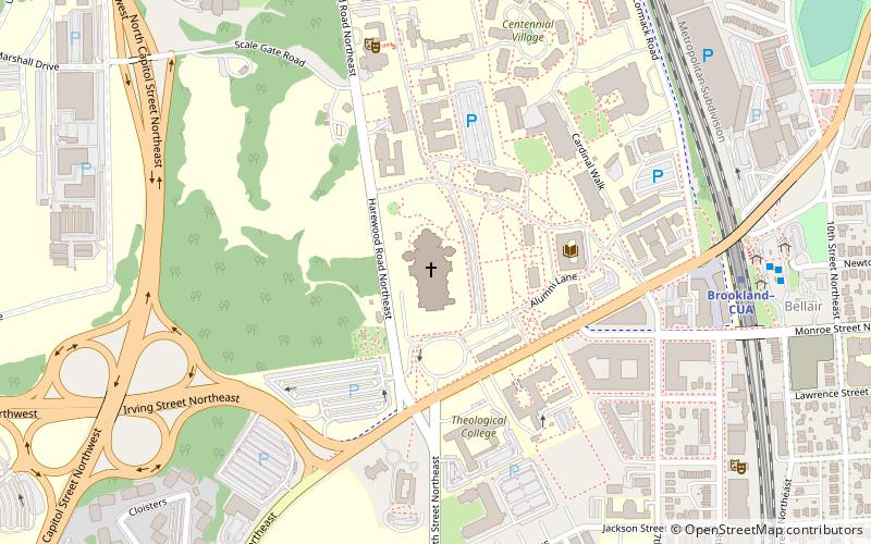
Dance Place is an arts organization in the Brookland neighborhood of Northeast Washington, D.C. The nearest metro station is Brookland/CUA on the Red Line. ()
Established: 1978 (48 years ago)Coordinates: 38°55'49"N, 76°59'41"W
Getting there by public transportation
Public transportation stops near this location
- Metro
- Bus
 Metro
Metro
- Calculate routeC 5 min walk
- Calculate routeJ 6 min walk
- Calculate routeD 6 min walk
- Calculate routeB 6 min walk
- Calculate routeBrookland–CUA 5 min walk
- Calculate routeRhode Island Avenue–Brentwood 17 min walk
Day trips
Dance Place – popular in the area (distance from the attraction)
Nearby attractions include: Basilica of the National Shrine of the Immaculate Conception, Woodridge Neighborhood Library, Franciscan Monastery, Our Mother of Africa Chapel.


Frequently Asked Questions (FAQ)
Which popular attractions are close to Dance Place?
Nearby attractions include Brooks Mansion, Washington D.C. (5 min walk), American Poetry Museum, Washington D.C. (6 min walk), Oliveira Lima Library, Washington D.C. (7 min walk), Charles Richard Drew Memorial Bridge, Washington D.C. (7 min walk).
How to get to Dance Place by public transport?
The nearest stations to Dance Place:
Bus
Metro
Bus
- C • Lines: H1, H6 (5 min walk)
- J • Lines: 80 (6 min walk)
Metro
- Brookland–CUA • Lines: Rd (5 min walk)
- Rhode Island Avenue–Brentwood • Lines: Rd (17 min walk)