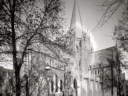
Stead Park, Washington D.C.
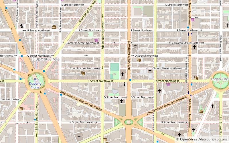
Map
Gallery
Facts and practical information
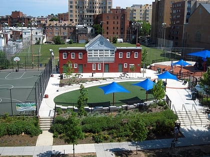
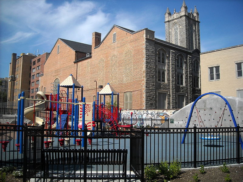
Stead Park is a 1.5-acre municipal park located in the Dupont Circle neighborhood of Northwest Washington, D.C. Among its facilities are Stead Recreation Center, located at 1625 P Street NW; a lighted basketball court; an athletic field with a 60-foot baseball diamond; and a playground. ()
Created: 1953Elevation: 75 ft a.s.l.Coordinates: 38°54'37"N, 77°2'15"W
Day trips
Stead Park – popular in the area (distance from the attraction)
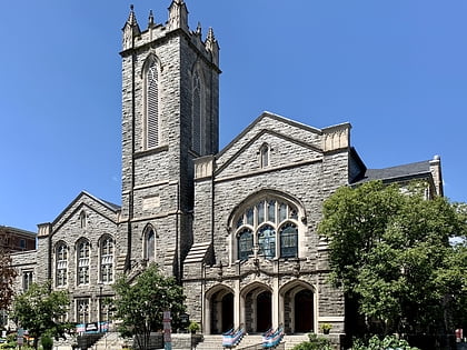
Nearby attractions include: Halo, House of the Temple, Foundry United Methodist Church, Scott Circle.
Frequently Asked Questions (FAQ)
Which popular attractions are close to Stead Park?
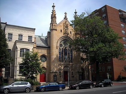
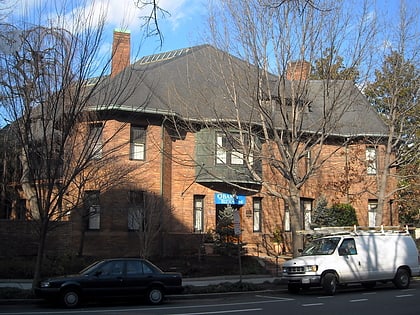
Nearby attractions include Foundry United Methodist Church, Washington D.C. (1 min walk), DC Minyan, Washington D.C. (3 min walk), Bet Mishpachah, Washington D.C. (3 min walk), Robert Simpson Woodward House, Washington D.C. (3 min walk).
How to get to Stead Park by public transport?
The nearest stations to Stead Park:
Metro
Bus
Metro
- Dupont Circle • Lines: Rd (9 min walk)
- Farragut North • Lines: Rd (13 min walk)
Bus
- MTA Bus Stop • Lines: 305, 315 (17 min walk)
- 19th St & F St Northwest (25 min walk)
