Anchor Point

Gallery (2)
Map
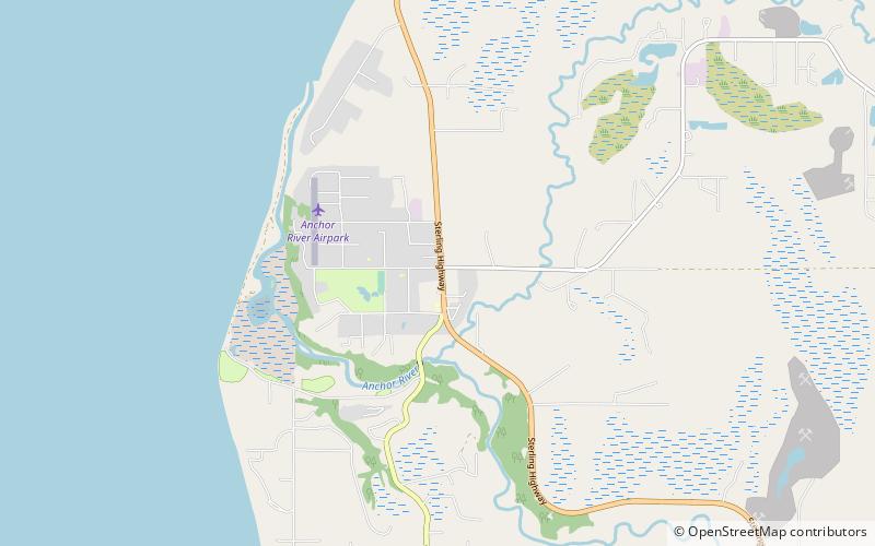
Map
Gallery
Facts and practical information
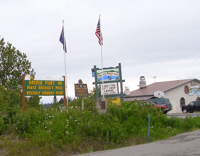
Anchor Point is an unincorporated community and census-designated place in Kenai Peninsula Borough, in the U.S. state of Alaska. As of the 2010 census the population was 1,930, up from 1,845 in 2000. The community is located along the Sterling Highway, part of Alaska State Route 1. Anchor Point is the westernmost point in the North American highway system. ()
Location
Alaska
ContactAdd
Social media
Add