Honeymoon Island State Park
Map
Gallery

Facts and practical information
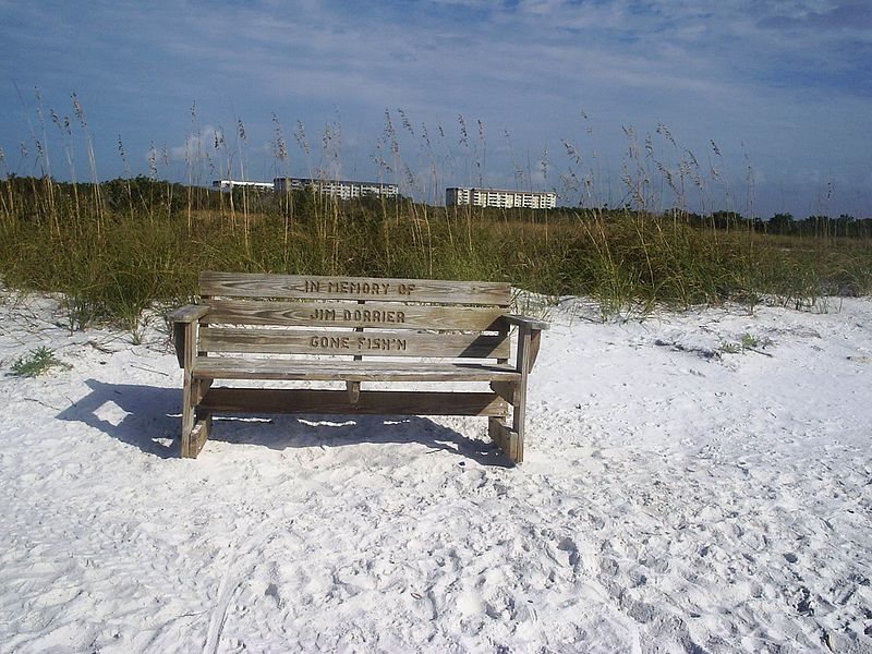
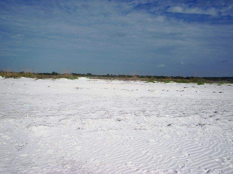
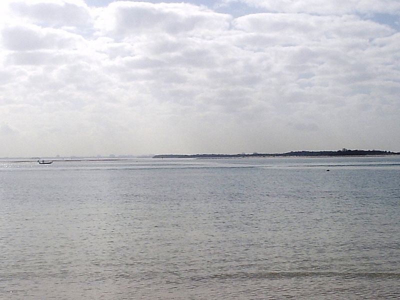
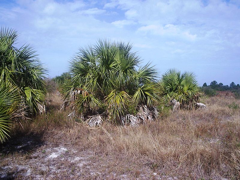
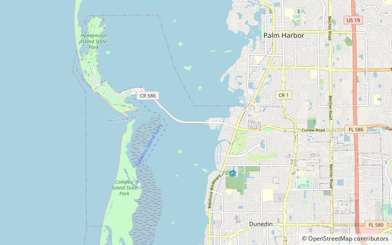
Honeymoon Island State Park is a Florida State Park located on Honeymoon Island, a barrier island across St. Joseph's Sound from Palm Harbor, Ozona, and Crystal Beach. The park is 385 acres in land area with 2,400 acres submerged and 4 miles of beach. It lies at the western end of Causeway Boulevard, which becomes Curlew Road east of Alternate US 19. Its address is 1 Causeway Blvd. Consistently receiving more than one million visitors each year, it is the most-visited state park in Florida. ()
Area: 4.49 mi²Coordinates: 28°4'8"N, 82°49'52"W
Location
Florida
ContactAdd
Social media
Add
Day trips
Honeymoon Island State Park – popular in the area (distance from the attraction)
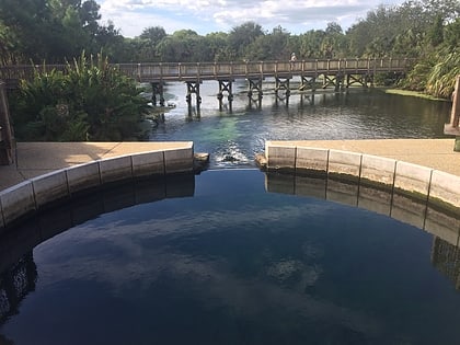
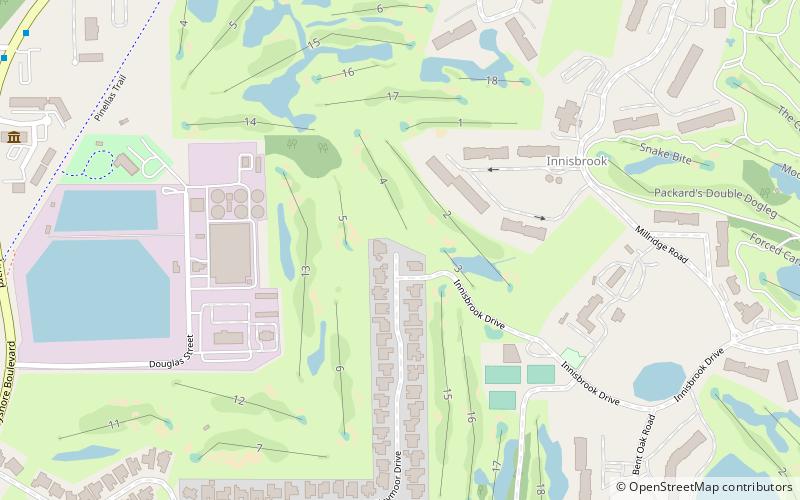
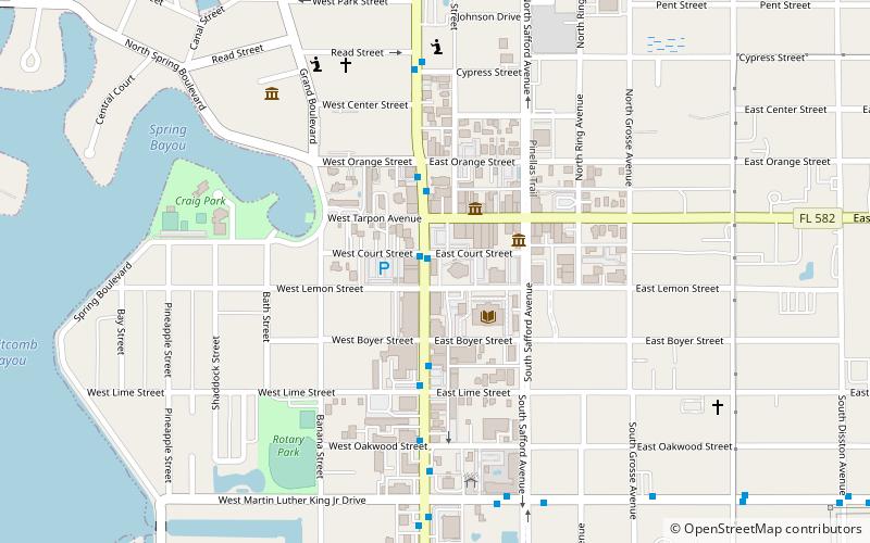
Nearby attractions include: Dunedin Stirling Links, Dunedin Causeway, Wall Springs Park, Tarpon Springs Public Library.


