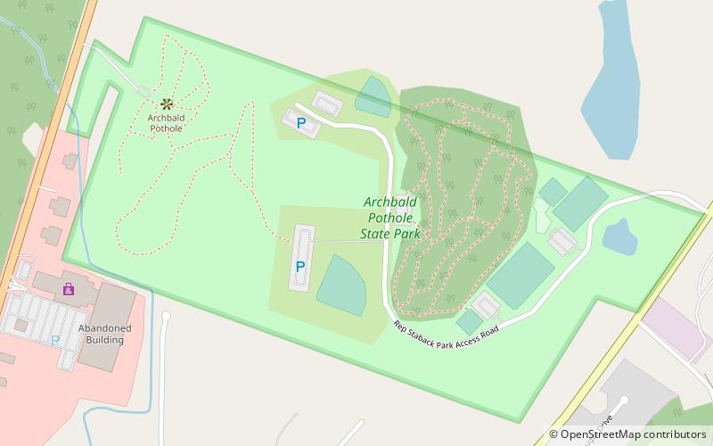
Archbald Pothole State Park

Gallery (2)
Map
Map
Gallery
Facts and practical information
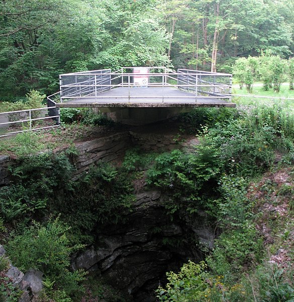
Archbald Pothole State Park is a 149.16-acre Pennsylvania state park in Archbald, Lackawanna County, Pennsylvania. The focal point of the park is Archbald Pothole. The pothole is a remnant of the Wisconsin Glacial Period, 38 feet deep with a largest diameter of 42 feet by 24 feet. It has drawn tourists since just after it was discovered in 1884. Archbald Pothole State Park is on U.S. Route 6 Business in the borough of Archbald. ()
Established: 1964 (62 years ago)Elevation: 1165 ft a.s.l.Coordinates: 41°30'35"N, 75°34'9"W
Day trips


