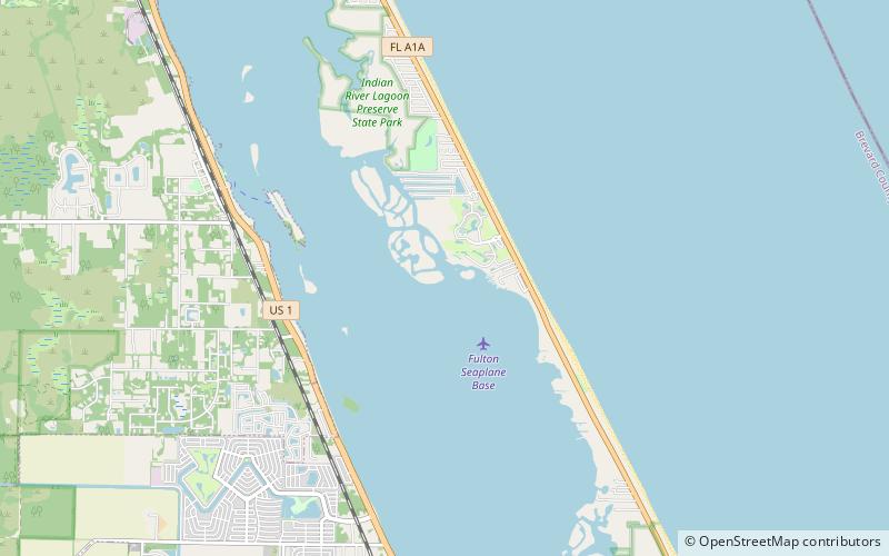
Archie Carr National Wildlife Refuge
Map

Map

Facts and practical information
The Archie Carr National Wildlife Refuge is part of the United States National Wildlife Refuge System, located along a twenty-mile section of coastline from Melbourne Beach to Wabasso Beach, Florida, along State Road A1A. The 900 acre refuge was established in 1991, to protect the loggerhead and green sea turtles. ()
Established: 1991 (35 years ago)Elevation: 3 ft a.s.l.Coordinates: 27°55'0"N, 80°29'32"W
Day trips
Archie Carr National Wildlife Refuge – popular in the area (distance from the attraction)
Nearby attractions include: Sebastian Fishing Museum, Bensen House.


