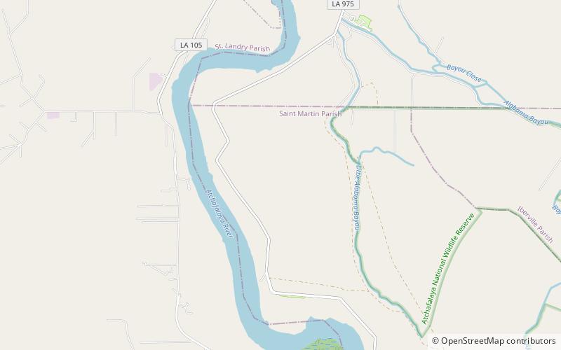
Atchafalaya National Wildlife Refuge
Map

Map

Facts and practical information
The Atchafalaya National Wildlife Refuge is located about 30 miles west of Baton Rouge, Louisiana, and one mile east of Krotz Springs, Louisiana, lies just east of the Atchafalaya River. In 1988 under the administration of Governor Foster the "Atchafalaya Basin Master Plan" was implemented that combined the 11,780-acre Sherburne Wildlife Management Area, the 15,220-acre Atchafalaya National Wildlife Refuge, and the 17,000-acre U.S. Army Corps of Engineers' Bayou Des Ourses into the Sherburne Complex Wildlife Management Area. ()
Established: 1986 (40 years ago)Coordinates: 30°28'60"N, 91°43'60"W
Day trips
Atchafalaya National Wildlife Refuge – popular in the area (distance from the attraction)
Nearby attractions include: Krotz Springs Bridge, Sherburne Complex Wildlife Management Area.


