Attwater Prairie Chicken National Wildlife Refuge

Gallery (1)
Map
Map
Facts and practical information
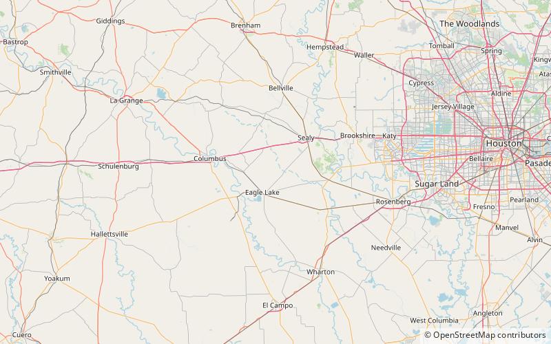
Attwater Prairie Chicken National Wildlife Refuge is a federally protected refugium encompassing one of the largest remnants of coastal prairie habitat remaining in southeast Texas, United States, and home to one of the last populations of critically endangered Attwater's prairie chickens, a ground-dwelling grouse of the coastal prairie ecosystem. ()
Established: 1972 (54 years ago)Area: 16.45 mi²Elevation: 171 ft a.s.l.Coordinates: 29°39'36"N, 96°16'42"W