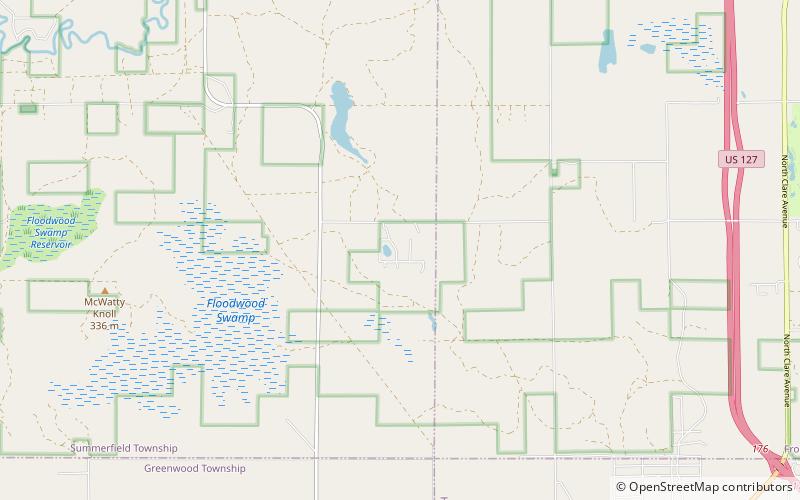
Au Sable State Forest
Map

Map

Facts and practical information
The Au Sable State Forest is a state forest in the north-central Lower Peninsula of Michigan. It is operated by the Michigan Department of Natural Resources. ()
Elevation: 1145 ft a.s.l.Coordinates: 44°5'60"N, 84°51'18"W
Location
Michigan
ContactAdd
Social media
Add
Day trips
Au Sable State Forest – popular in the area (distance from the attraction)
Nearby attractions include: Harrison.

