Baraga State Park
Map

Map

Facts and practical information
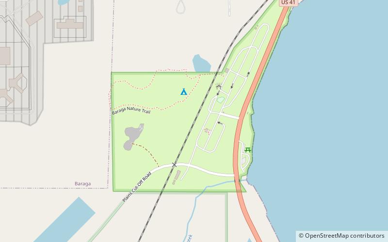
Baraga State Park is a public recreation area covering 56 acres on the shore of Lake Superior's Keweenaw Bay in Baraga County, Michigan. The state park sits along Route 41 on the south side of the village of Baraga. The park, village, and county bear the name of Bishop Frederic Baraga. ()
Established: 1922 (104 years ago)Elevation: 614 ft a.s.l.Coordinates: 46°45'38"N, 88°30'8"W
