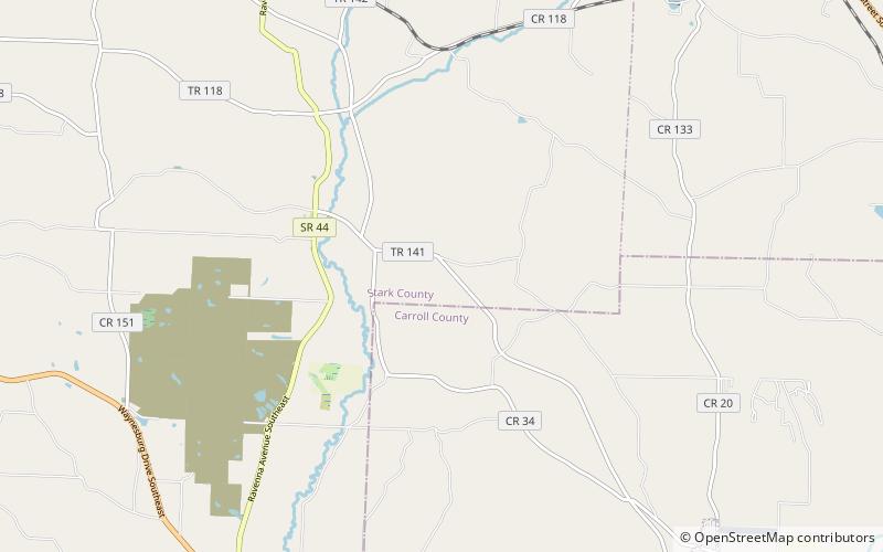
Beaver Creek State Park
Map

Map

Facts and practical information
Beaver Creek State Park is a 2,722-acre public recreation area in Columbiana County, Ohio in the United States. The park is near East Liverpool on the banks of Little Beaver Creek. Remnants of the historic Sandy and Beaver Canal can be found throughout the park. It is open for year-round recreation including, camping, boating, hunting, fishing and hiking. ()
Established: 1949 (77 years ago)Elevation: 1040 ft a.s.l.Coordinates: 40°43'37"N, 81°13'36"W
Day trips
Beaver Creek State Park – popular in the area (distance from the attraction)
Nearby attractions include: Waynesburg, Malvern, East Canton.


