Black Sandy State Park
Map

Map

Facts and practical information
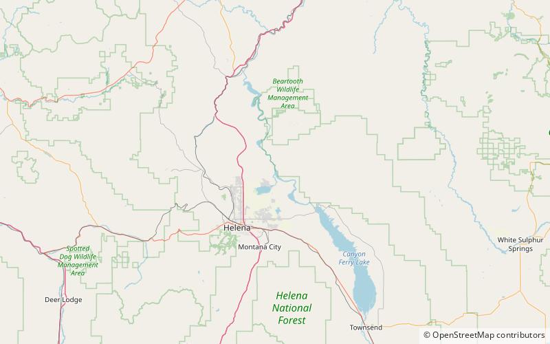
Black Sandy State Park is a public recreation area on the western shore of Hauser Lake reservoir, an impoundment of the Missouri River, located thirteen miles northeast of Helena in Lewis and Clark County, Montana, in the United States. The park is along the Lewis and Clark National Historic Trail. ()
Established: 1980 (46 years ago)Coordinates: 46°44'46"N, 111°53'10"W
