Broxton Rocks


Facts and practical information
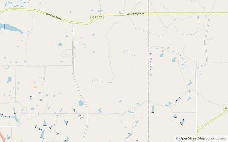
Broxton Rocks is the single largest exposure of sandstone, about 4 miles in extent, found in the Altamaha Grit, a subterranean band of sandstone that lies under some 15,000 square miles of the Atlantic Coastal Plain. The Rocks, as it is referred to locally, consists of a series of cracks, pools, damp cliff walls, a 10-foot waterfall, and rugged outcrops up to 20 feet high, all carved into a shallow gorge over many centuries by Rocky Creek. The Broxton Rocks waterfall is Georgia's southernmost. A substantial part of the Broxton Rocks is a protected preserve of 3,799 acres, of which 1,528 acres are managed by The Nature Conservancy. The preserve lies on a direct line from Atlanta, Georgia, 185 miles by road to the north-west, to Jacksonville, Florida, 145 miles by road to the south-east. Broxton Rocks is located at 31°43'56.25"N, 82°51'11.75"W. The elevation is 243 feet. Broxton Rocks is located in north-east Coffee County, Georgia. ()
Georgia
