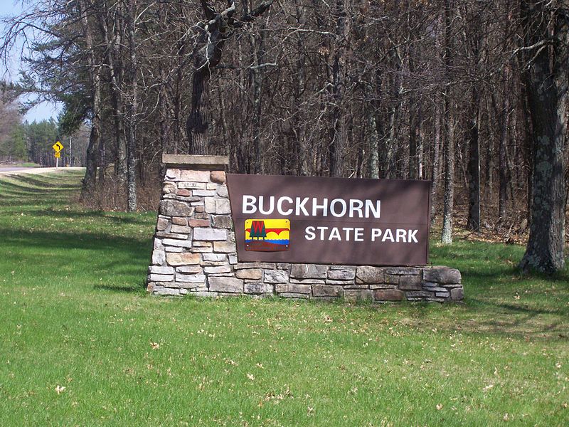
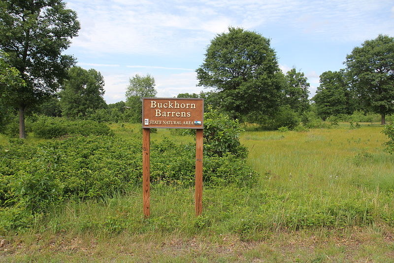
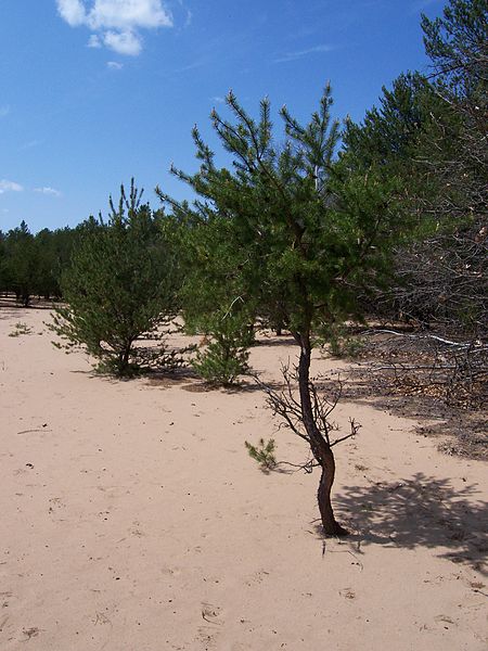
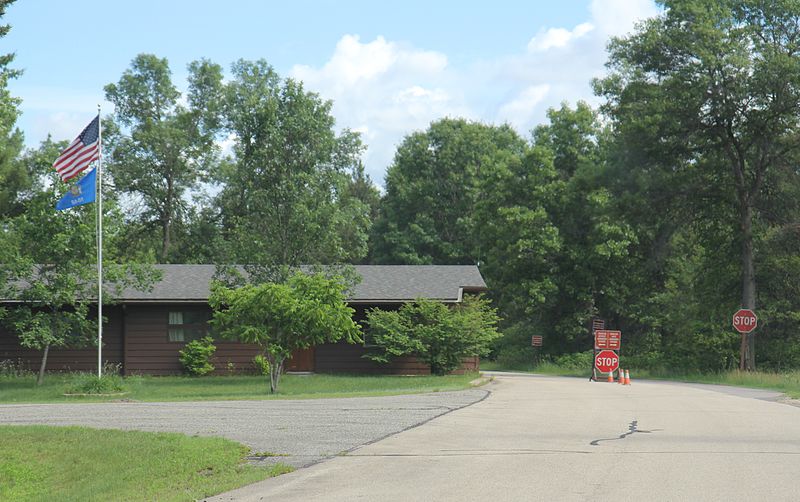
Buckhorn State Park

Gallery (5)
Map

Map

Gallery
Facts and practical information
Buckhorn State Park is a 6,990-acre Wisconsin state park southeast of Necedah. The park occupies a peninsula on Castle Rock Lake, a reservoir formed at the confluence of the Wisconsin and Yellow Rivers. ()
Established: 1971 (55 years ago)Elevation: 889 ft a.s.l.Coordinates: 43°56'21"N, 90°0'14"W
Location
Wisconsin
ContactAdd
Social media
Add