Butano State Park

Gallery (1)
Map
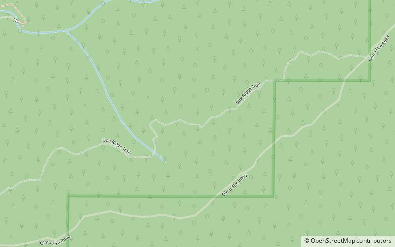
Map
Facts and practical information
Butano State Park is a state park in the U.S. state of California, showcasing the secluded redwood-filled canyon of Little Butano Creek, a tributary of Butano Creek in the Pescadero Creek watershed. Located in San Mateo County near Pescadero, the 4,728-acre park was established in 1956. ()
Established: 1956 (70 years ago)Area: 7.39 mi²Elevation: 1138 ft a.s.l.Coordinates: 37°12'37"N, 122°18'32"W
Location
California
ContactAdd
Social media
Add
Day trips