
Cache River State Natural Area Travel Guide
Facts and practical information
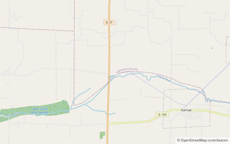
Cache River State Natural Area, located in the heart of Johnson County, Illinois, is a hidden gem for nature enthusiasts and outdoor adventurers. This 14,000-acre state park is home to a diverse range of natural habitats, including swamps, wetlands, and forests, making it a haven for wildlife and birdwatching. The park is also known for its unique cypress-tupelo swamp, where visitors can paddle through the ancient trees and immerse themselves in the serene beauty of the area.
One of the highlights of Cache River State Natural Area is the renowned Heron Pond, a designated Illinois Nature Preserve. This tranquil pond is a popular spot for birdwatching, as it attracts a wide variety of bird species, including migratory birds such as the prothonotary warbler and the bald eagle. Visitors can hike along the boardwalks and trails that wind through the wetlands, providing opportunities to observe the diverse flora and fauna that call the area home.
For those seeking a more adventurous experience, Cache River State Natural Area offers opportunities for kayaking and canoeing along its scenic waterways. The Cache River and its tributaries provide a picturesque setting for paddling, allowing visitors to explore the hidden corners of the park and discover its natural wonders from a unique perspective.
Illinois
Cache River State Natural Area Attractions - What to See and Explore
Cache River State Natural Area offers many attractions and places to visit. Here are the most important ones: Henry N Barkhausen Cache River Wetlands Center. Below you will find a complete list of places worth visiting.
Best Time To Visit Cache River State Natural Area
Learn when is the best time to travel to Cache River State Natural Area weather-wise and what to expect in each season.