Camas National Wildlife Refuge

Gallery (1)
Map
Map
Facts and practical information
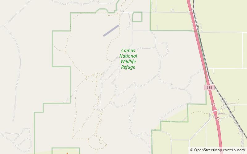
About half of the Camas National Wildlife Refuge in southeastern Idaho consists of lakes, ponds, and marshlands; the remainder is grass sagebrush uplands, meadows, and farm fields. Camas Creek flows through the length of the refuge. ()
Established: 1937 (89 years ago)Elevation: 4790 ft a.s.l.Coordinates: 43°56'20"N, 112°15'47"W