Caribou Wilderness
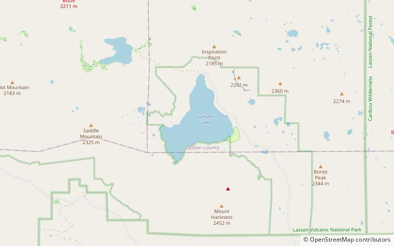
Map

Gallery
Facts and practical information
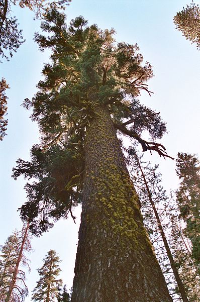
The Caribou Wilderness is a federally designated wilderness area created by the Wilderness Act of 1964 and is part of the National Wilderness Preservation System. It is located 60 miles east of Redding in the state of California, United States. The Caribou Wilderness comprises 20,546 acres and is adjacent to the east side of Lassen Volcanic National Park. Although the park is surrounded by Lassen National Forest, it is managed separately by the National Park Service, whereas the U.S. Forest Service manages the wilderness. ()
Established: 1964 (62 years ago)Elevation: 7083 ft a.s.l.Coordinates: 40°29'20"N, 121°12'50"W
Location
California
ContactAdd
Social media
Add
Day trips
Caribou Wilderness – popular in the area (distance from the attraction)
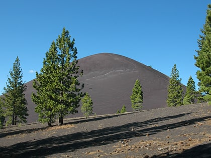
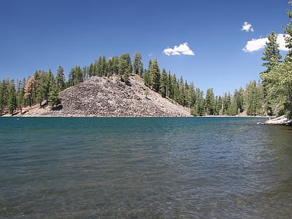
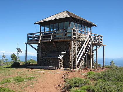
Nearby attractions include: Cinder Cone, Butte Lake, Mount Harkness Fire Lookout, Snag Lake.

