Cascades
Map

Map

Facts and practical information
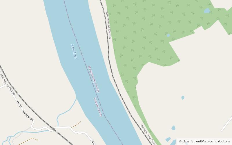
Cascades is an area in the George Washington and Jefferson National Forests of western Virginia, United States, that has been recognized by the Wilderness Society as a special place worthy of protection from logging and road construction The area is named after a 60-foot waterfall on Little Stony Creek which flows out of the area into the New River. ()
Elevation: 1742 ft a.s.l.Coordinates: 37°11'35"N, 80°35'43"W
Location
Virginia
ContactAdd
Social media
Add
Day trips
Cascades – popular in the area (distance from the attraction)
Nearby attractions include: Glencoe Museum, New River Junction, Kentland Farm Historic and Archeological District, Arnheim.


