Cedar Bog

Gallery (1)
Map
Map
Facts and practical information
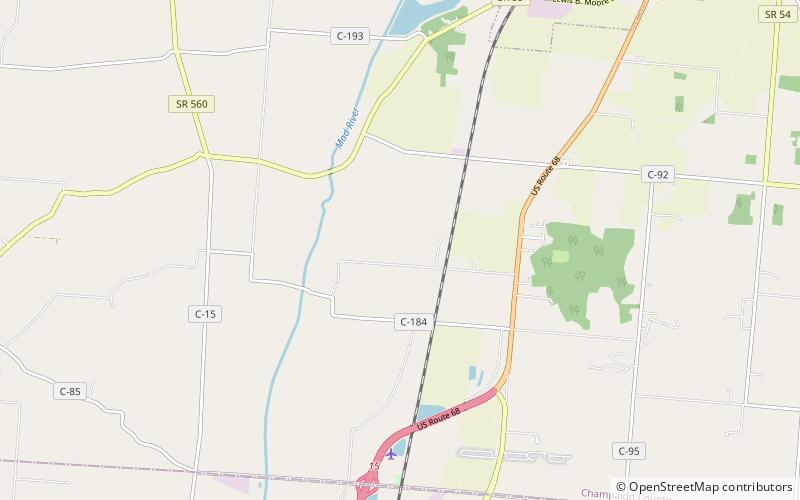
Cedar Bog State Nature Preserve is a fen left behind by the retreating glaciers of the Wisconsin glaciation about 12,000-18,000 years ago. A protected area of about 450 acres of fen remains from the original area of approximately 7,000 acres. ()
Established: 1942 (84 years ago)Elevation: 968 ft a.s.l.Coordinates: 40°3'29"N, 83°47'54"W
Day trips
Cedar Bog – popular in the area (distance from the attraction)
Nearby attractions include: Urbana.
