Cheyenne Bottoms

Gallery (1)
Map
Map
Facts and practical information
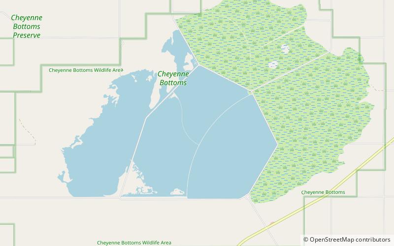
Cheyenne Bottoms is a wetland in the central Great Plains of North America. Occupying approximately 41,000 acres in central Kansas, it is the largest wetland in the interior United States. The Bottoms is a critical stopping point on the Central Flyway for millions of birds which migrate through the region annually. ()
Maximum depth: 4 ftElevation: 1791 ft a.s.l.Coordinates: 38°28'10"N, 98°39'21"W
Location
Kansas
ContactAdd
Social media
Add