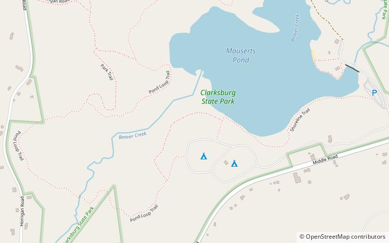
Clarksburg State Park
Map

Map

Facts and practical information
Clarksburg State Park is a 368-acre Massachusetts state park located in the town of Clarksburg. The park is made up of unspoiled northern hardwood forest, with views of the Hoosac Range, Mount Greylock and the Green Mountains. It is managed by the Department of Conservation and Recreation. ()
Elevation: 1086 ft a.s.l.Coordinates: 42°44'5"N, 73°4'56"W
Day trips
Clarksburg State Park – popular in the area (distance from the attraction)
Nearby attractions include: MASS MoCA, Museum of History & Science, Western Gateway Heritage State Park, Hillside Cemetery.


