Clear Creek State Park
Map

Map

Facts and practical information
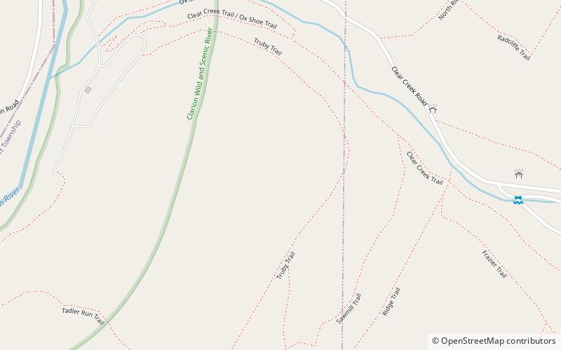
Clear Creek State Park is a 1,211.19-acre Pennsylvania state park in Barnett and Heath Townships, Jefferson County, Pennsylvania in the United States. Public campsites were first opened at the park in 1922. Many of the facilities seen today at the park were constructed during the Great Depression by the Civilian Conservation Corps. Clear Creek State Park is 12 miles from Brookville on Pennsylvania Route 949 at the confluence of Clear Creek and the Clarion River. ()
Established: 1922 (104 years ago)Elevation: 1516 ft a.s.l.Coordinates: 41°19'37"N, 79°5'50"W
