Cobscook Bay State Park, Moosehorn National Wildlife Refuge

Gallery (2)
Map
Map
Gallery
Facts and practical information
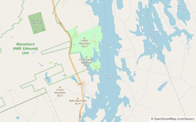
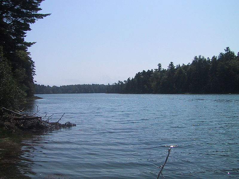
Cobscook Bay State Park is a public recreation area occupying 888 acres on the western shore of Cobscook Bay in Washington County, Maine. The park offers a view of dramatically changing tides that on average can rise to 24 feet high with some reaching as high as 28 feet. The name Cobscook is a Maliseet-Passamaquoddy word for boiling tides. The state park is located on Whiting Bay approximately 6 miles south of Dennysville and 6 miles north of Whiting. It is managed by the Maine Department of Agriculture, Conservation and Forestry. ()
Established: 1964 (62 years ago)Coordinates: 44°50'29"N, 67°9'1"W