Coram Experimental Forest
Map

Map

Facts and practical information
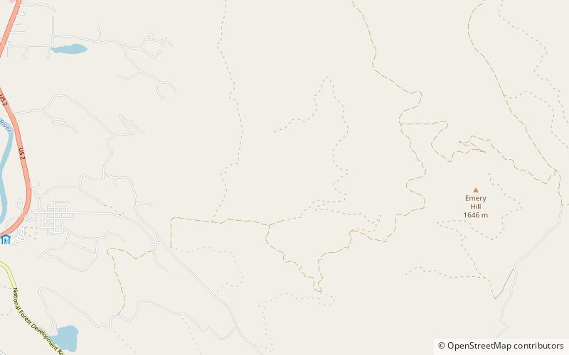
The Coram Experimental Forest was established in 1933 within the Flathead National Forest in the state of Montana, about 45 kilometers east of Kalispell, near Coram, and just outside the borders of Glacier National Park. ()
Elevation: 4308 ft a.s.l.Coordinates: 48°23'48"N, 113°58'44"W
Location
Montana
ContactAdd
Social media
Add
Day trips
Coram Experimental Forest – popular in the area (distance from the attraction)
Nearby attractions include: International Larix Arboretum, Timber Wolf Resort - Glacier National Park 406 387 9653.


