Cypress Creek National Wildlife Refuge
Map

Map

Facts and practical information
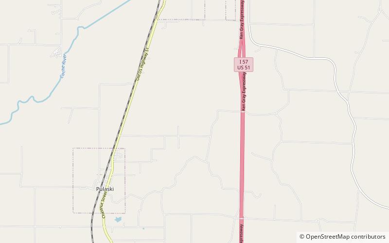
The Cypress Creek National Wildlife Refuge is located in the Cache River watershed in southernmost Illinois, largely in Pulaski County, but with extensions into Union, Alexander, and Johnson counties. The refuge was established in 1990 under the authority of the Emergency Wetlands Resources Act of 1986. The refuge protects over 16,000 acres of the Cache River wetlands, and has a purchase boundary of 36,000 acres contiguous. ()
Established: 1990 (36 years ago)Elevation: 348 ft a.s.l.Coordinates: 37°13'58"N, 89°10'27"W
