Delaware State Park

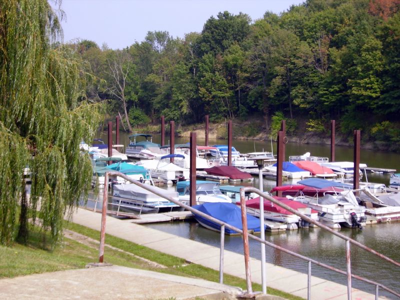
Gallery (2)
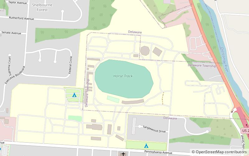
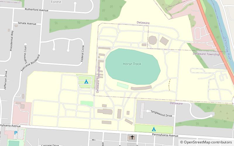
Map
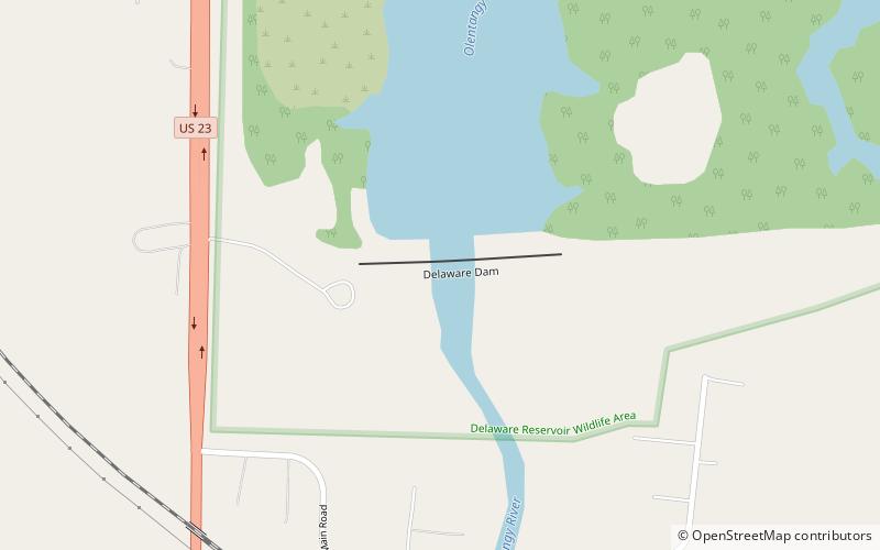
Map
Gallery
Facts and practical information
Delaware State Park is a 1,686-acre public recreation area on U.S. Route 23 near the city of Delaware in Delaware County, Ohio, in the United States. It is open for year-round recreation including camping, hiking, boating, hunting, fishing, and picnicking. ()
Established: 1952 (74 years ago)Area: 3.15 mi²Elevation: 899 ft a.s.l.Coordinates: 40°21'31"N, 83°4'9"W
Day trips