Dominguez–Escalante National Conservation Area
Map

Map

Facts and practical information
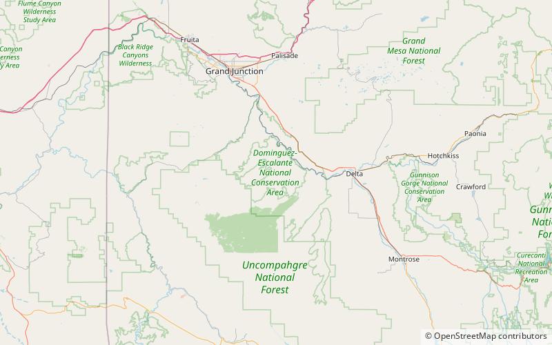
The Dominguez–Escalante National Conservation Area is a 209,610-acre National Conservation Area located in western Colorado southeast of Grand Junction and northwest of Montrose. It is managed by the Bureau of Land Management, and was created as part of the Omnibus Public Land Management Act of 2009. In 2009 66,280 acres were also designated as the Dominguez Canyon Wilderness. ()
Established: 2009 (17 years ago)Area: 340.79 mi²Elevation: 6512 ft a.s.l.Coordinates: 38°44'50"N, 108°23'6"W
Day trips
Dominguez–Escalante National Conservation Area – popular in the area (distance from the attraction)
Nearby attractions include: Dominguez Canyon Wilderness.

