Flambeau River State Forest
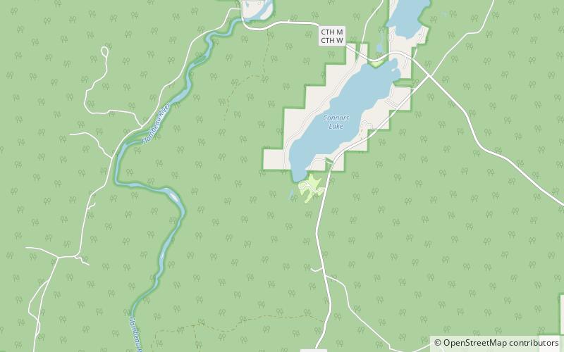
Map

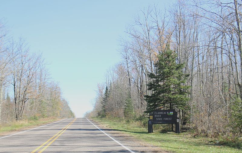
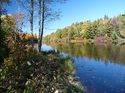
Gallery

Facts and practical information
Flambeau River State Forest is a 90,147 acre unit of the Wisconsin state park system. The North and South Forks of the Flambeau River join within the park, providing over 75 miles of mostly undeveloped river. The forest is composed of northern hardwoods. In 1973, Flambeau River Hemlock-Hardwood Forest was designated as a National Natural Landmark by the National Park Service. ()
Established: 1930 (96 years ago)Elevation: 1421 ft a.s.l.Coordinates: 45°44'29"N, 90°45'4"W
Location
Wisconsin
ContactAdd
Social media
Add
