Fort Adams State Park, Newport
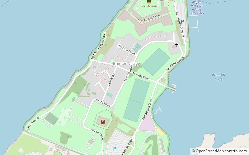
Map

Map

Facts and practical information
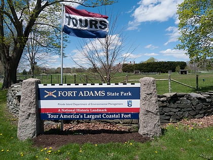
Fort Adams State Park is a public recreation and historic area preserving Fort Adams, a large coastal fortification located at the harbor mouth in Newport, Rhode Island, that was active from 1841 through the first half of the 20th century. The state park hosts the annual Newport Jazz Festival and Newpo and is the home of Sail Newport and Eisenhower House. ()
Established: 1965 (61 years ago)Elevation: 30 ft a.s.l.Coordinates: 41°28'29"N, 71°20'23"W
Day trips
Fort Adams State Park – popular in the area (distance from the attraction)
Nearby attractions include: Newport Country Club, Fort Wetherill, Cardines Field, Fort Adams.
Frequently Asked Questions (FAQ)
Which popular attractions are close to Fort Adams State Park?
Nearby attractions include Fort Adams, Newport (3 min walk), American Sailboat Hall of Fame, Newport (10 min walk), Hammersmith Farm, Newport (14 min walk), Ida Lewis Rock Light, Newport (19 min walk).
How to get to Fort Adams State Park by public transport?
The nearest stations to Fort Adams State Park:
Bus
Bus
- Newport Gateway Center Stop C • Lines: 60 (42 min walk)
- Newport Gateway Center Stop D • Lines: 14 (42 min walk)


