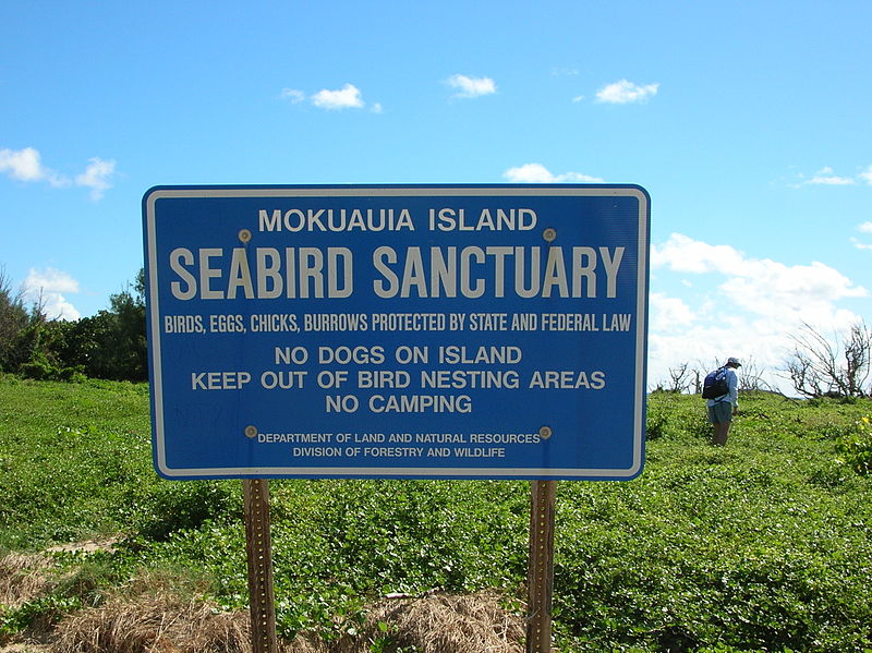
Goat Island

Gallery (2)
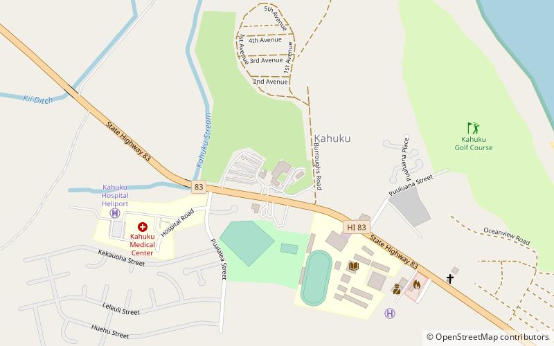
Map
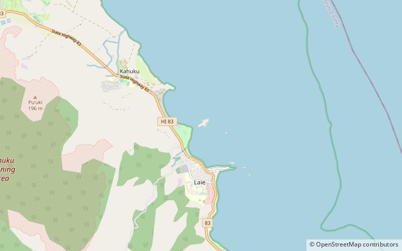
Map
Gallery
Facts and practical information
Goat Island, also known as Mokuʻauia, is a flat islet consisting of lithified dunes in Laie Bay on the northeast shore of Oahu, Hawaii. The islet is separated from Malaekahana State Recreation Area by a 720 feet channel of limestone reef shelf 1 metre underwater. ()
Area: 13.1 acres (0.0205 mi²)Maximum elevation: 15 ftCoordinates: 21°39'43"N, 157°55'26"W
Location
Hawaii
ContactAdd
Social media
Add
Day trips