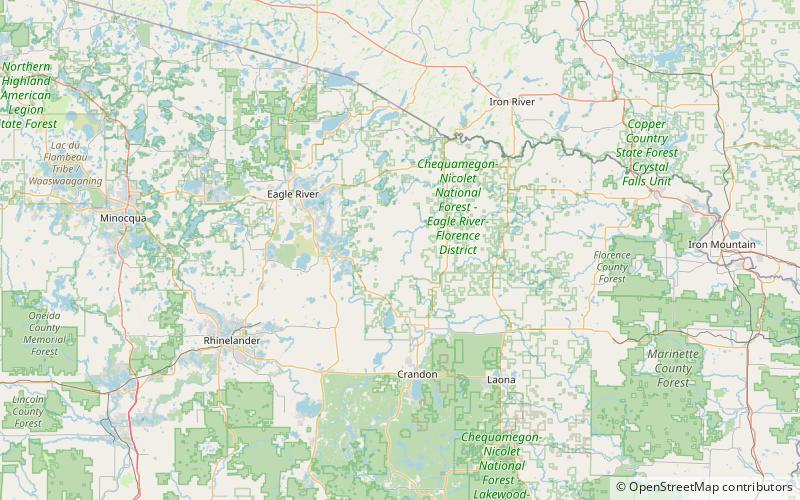
Headwaters Wilderness
Map

Map

Facts and practical information
The Headwaters Wilderness is a 22,033-acre wilderness area located within the Nicolet unit of the Chequamegon-Nicolet National Forest in northeastern Wisconsin. It is the largest federally designated wilderness area on Wisconsin's mainland. ()
Established: 1984 (42 years ago)Elevation: 1713 ft a.s.l.Coordinates: 45°48'36"N, 88°57'3"W
Location
Wisconsin
ContactAdd
Social media
Add
