Hog Island
Map

Map

Facts and practical information
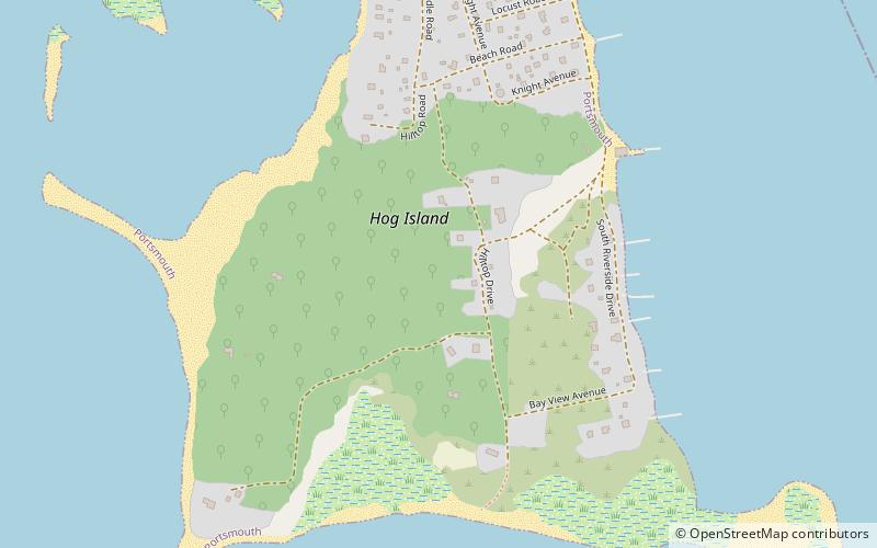
Hog Island is an American island in Narragansett Bay in Rhode Island. It lies at the entrance to the harbor of Bristol and is part of the town of Portsmouth. The 60 ft tall Hog Island Shoal Lighthouse stands off the south end, warning ships of the dangerous shoals around the island. It has a land area of approximately 0.3 sq mi, making it the fifth-largest island in Narragansett Bay. It is home to a small summer vacation colony, with no regular year-round residents, and there are approximately 100 homes on it. ()
Coordinates: 41°38'30"N, 71°16'49"W
Location
Rhode Island
ContactAdd
Social media
Add
Day trips
Hog Island – popular in the area (distance from the attraction)
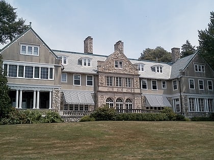
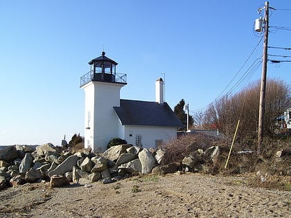
Nearby attractions include: Blithewold Mansion, Mount Hope Bridge, Bristol Ferry Light, Roger Williams University.


