Indian Lake State Park
Map

Map

Facts and practical information
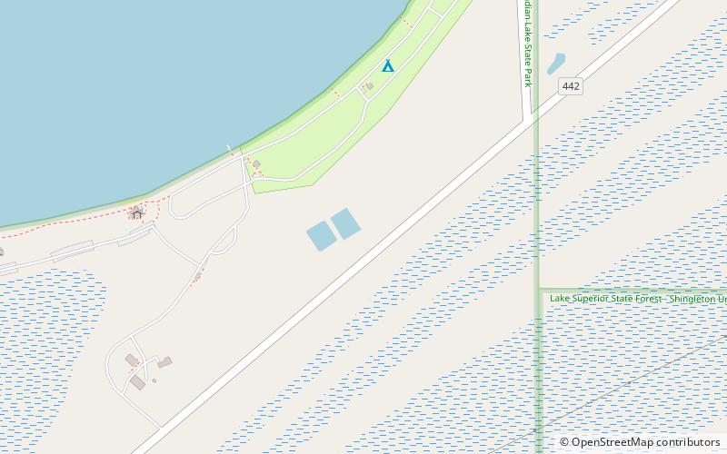
Indian Lake State Park is a public recreation area covering 847 acres in Schoolcraft County on the Upper Peninsula of Michigan. The state park is made up of two units that are three miles apart, one on the south shore of Indian Lake, one on the west shore. ()
Established: 1932 (94 years ago)Elevation: 633 ft a.s.l.Coordinates: 45°56'40"N, 86°19'40"W
Day trips
Indian Lake State Park – popular in the area (distance from the attraction)
Nearby attractions include: Stony Point Golf, Palms Book State Park, Manistique Pumping Station, Kitch-iti-Kipi.


