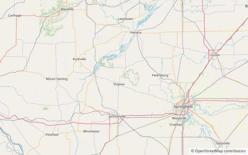
Jim Edgar Panther Creek State Fish and Wildlife Area
Map

Map

Facts and practical information
The Jim Edgar Panther Creek State Fish and Wildlife Area is a conservation area located within Cass County in the U.S. state of Illinois. It is 16,550 acres in size. A mix of plowed upland prairie and Panther Creek woodlands, the site is managed by the Illinois Department of Natural Resources. It is drained by the Sangamon River. It is named for former Governor of Illinois Jim Edgar. ()
Established: 1993 (33 years ago)Elevation: 509 ft a.s.l.Coordinates: 39°59'46"N, 90°10'0"W
Location
Illinois
ContactAdd
Social media
Add
